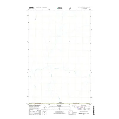
2017 Map of Northwest Peak OE N
USGS Topo · Published 2017About this map
Kaniksu National Forest and Kootenai National Forest meet along the international border in this 2017 study of the high country between Montana and British Columbia. The landscape is defined by the complex drainage network of Hawkins Creek, which gathers numerous tributaries as it flows through the timbered slopes. To the north, Manson Cr and its headwaters mark the drainage towards the Canadian interior, while southern reaches are fed by Cold Cr and S Hawkins Cr. This map captures the modern forest boundaries and hydrologic detail of Lincoln County, illustrating the remote topography where America Cr and Freeman Cr carve through the deep wilderness of the northern Rockies.
Find a feature on this map
12 named features on this map. Tap any name to fly to it.
Don’t see what you’re looking for? This feature index may not catch every label — zoom into the map to look around manually.
Map Details
Editions of this 2017 Northwest Peak OE N Map
This is the sole edition of this map. No revisions or reprints were ever made.
Other maps of this area

1911 · Priest Lake
USGS Topo · 1:250,000

1913 · Priest Lake
USGS Topo · 1:250,000

1957 · Kalispell
USGS Topo · 1:250,000

1958 · Sandpoint
USGS Topo · 1:250,000

1960 · Kalispell
USGS Topo · 1:250,000

1961 · Kalispell
USGS Topo · 1:250,000

1963 · Sandpoint
USGS Topo · 1:250,000

1963 · Northwest Peak
USGS Topo · 1:24,000

1963 · Garver Mountain
USGS Topo · 1:24,000
1965 · Canuck Peak
USGS Topo · 1:24,000