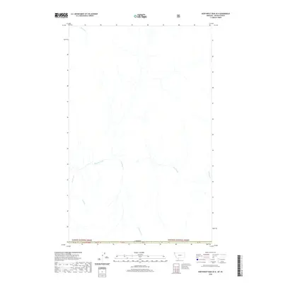
2020 Map of Northwest Peak OE N
USGS Topo · Published 2020About this map
The international border with Canada defines the southern reach of this remote wilderness area, where the northernmost edges of the Kaniksu National Forest and Kootenai National Forest converge. The landscape is dominated by an intricate network of mountain drainages, primarily flowing southward toward the boundary. Hawkins Creek serves as a primary arterial waterway, joined by numerous tributaries including S Hawkins Cr and America Cr. Other water features such as Manson Cr and Freeman Cr carve through the high-elevation terrain, illustrating the hydrologic patterns that shaped this borderland. This survey provides a precise look at the geography of t37n r34w in the years before recent forest management changes, preserving the names of local landmarks like Cold Cr that define the headwaters of this trans-boundary region.
Find a feature on this map
11 named features on this map. Tap any name to fly to it.
Don’t see what you’re looking for? This feature index may not catch every label — zoom into the map to look around manually.
Map Details
Editions of this 2020 Northwest Peak OE N Map
This is the sole edition of this map. No revisions or reprints were ever made.
Other maps of this area

1911 · Priest Lake
USGS Topo · 1:250,000

1913 · Priest Lake
USGS Topo · 1:250,000

1957 · Kalispell
USGS Topo · 1:250,000

1958 · Sandpoint
USGS Topo · 1:250,000

1960 · Kalispell
USGS Topo · 1:250,000

1961 · Kalispell
USGS Topo · 1:250,000

1963 · Sandpoint
USGS Topo · 1:250,000

1963 · Northwest Peak
USGS Topo · 1:24,000

1963 · Garver Mountain
USGS Topo · 1:24,000
1965 · Canuck Peak
USGS Topo · 1:24,000