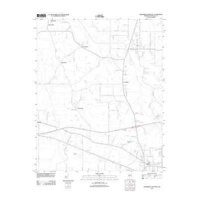
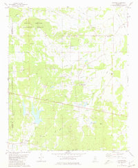
2012 Map of Northwest Pontotoc
USGS Topo · Published 2012About this map
Ecru serves as the primary municipal center in this section of Pontotoc County, where a grid of streets like Central Ave and Highland Ave meet the local rail corridor at S Railroad Ave. The surrounding landscape is defined by a network of creeks, most notably Lappatubby Cr and Mud Cr, which wind through a patchwork of small communities and family-named locales. Rural settlements such as Possum Trot, Hortontown, and Turnpike reflect the dispersed residential character of the region.
Find a feature on this map
108 named features on this map. Tap any name to fly to it.
Don’t see what you’re looking for? This feature index may not catch every label — zoom into the map to look around manually.
Map Details
Editions of this 2012 Northwest Pontotoc Map
This is the sole edition of this map. No revisions or reprints were ever made.
Other maps of this area
1949 · New Albany
USGS Topo · 1:62,500
1951 · New Albany
USGS Topo · 1:62,500
1955 · Sherman
USGS Topo · 1:62,500

1956 · Tupelo
USGS Topo · 1:250,000

1958 · Tupelo
USGS Topo · 1:250,000
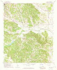
1966 · Troy NW
USGS Topo · 1:24,000
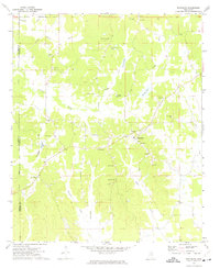
1972 · Randolph
USGS Topo · 1:24,000
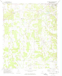
1972 · Southwest Pontotoc
USGS Topo · 1:24,000
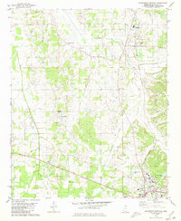
1980 · Northwest Pontotoc
USGS Topo · 1:24,000
1980 · Thaxton
USGS Topo · 1:24,000