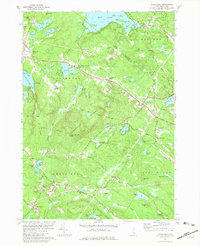
1981 Map of Northwood
USGS Topo · Published 1981About this map
The hills and glacial lakes of southern New Hampshire define this 1981 landscape, centered on the chain of settlements along the primary regional corridor through Northwood Ridge, Northwood Center, and Northwood Narrows. This area exhibits a classic New England development pattern where historic villages like Deerfield Parade and Bow Lake Village sit alongside established summer camps such as Camp Wah-Tut-Ca and Camp Yavneh. These recreational enclaves utilize the extensive shorelines of Bow Lake and Northwood Lake.
Find a feature on this map
101 named features on this map. Tap any name to fly to it.
Don’t see what you’re looking for? This feature index may not catch every label — zoom into the map to look around manually.
Map Details
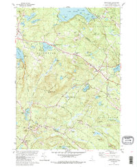
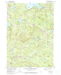
Editions of this 1981 Northwood Map
Other maps of this area

1917 · Mt. Pawtuckaway
USGS Topo · 1:62,500

1919 · Mt. Pawtuckaway
USGS Topo · 1:62,500

1919 · Gilmanton
USGS Topo · 1:62,500

1919 · Alton
USGS Topo · 1:62,500

1921 · Suncook
USGS Topo · 1:62,500

1927 · Gilmanton
USGS Topo · 1:62,500

1939 · Mt. Pawtuckaway
USGS Topo · 1:62,500

1944 · Mt. Pawtuckaway
USGS Topo · 1:62,500

1944 · Suncook
USGS Topo · 1:62,500

1949 · Portland
USGS Topo · 1:250,000