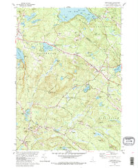
1981 Map of Northwood
USGS Topo · Published 1988About this map
Saddleback Mountain anchors this topographical study of the New Hampshire interior, where the borders of Strafford and Rockingham counties meet. The landscape is defined by a dense network of glacial ponds and small villages that supported a rural timber and agricultural economy. The Lamprey River and Bean River drain the southern portion of the quadrangle, while the north is dominated by the sprawling waters of Bow Lake.
Find a feature on this map
85 named features on this map. Tap any name to fly to it.
Don’t see what you’re looking for? This feature index may not catch every label — zoom into the map to look around manually.
Map Details
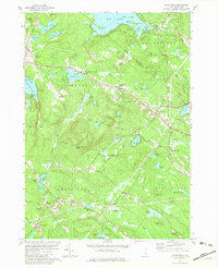
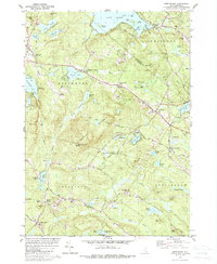
Editions of this 1981 Northwood Map
Other maps of this area

1917 · Mt. Pawtuckaway
USGS Topo · 1:62,500

1919 · Mt. Pawtuckaway
USGS Topo · 1:62,500

1919 · Gilmanton
USGS Topo · 1:62,500

1919 · Alton
USGS Topo · 1:62,500

1921 · Suncook
USGS Topo · 1:62,500

1927 · Gilmanton
USGS Topo · 1:62,500

1939 · Mt. Pawtuckaway
USGS Topo · 1:62,500

1944 · Mt. Pawtuckaway
USGS Topo · 1:62,500

1944 · Suncook
USGS Topo · 1:62,500

1949 · Portland
USGS Topo · 1:250,000