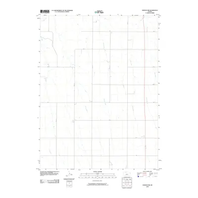
2009 Map of Norton NW
USGS Topo · Published 2009About this map
Sappa Creek and a network of intermittent waterways define the drainage of this rural upland in Norton County during the early 21st century. The landscape is structured by a rigorous township-and-range grid, with local travel routes such as RD C and RD W 4 following section lines across the high plains. Tributaries like Boy Creek, Dutch Creek, and Jones Creek cut across the agricultural blocks, indicating the subtle topographic variations that dictate land use in this part of Kansas.
Find a feature on this map
22 named features on this map. Tap any name to fly to it.
Don’t see what you’re looking for? This feature index may not catch every label — zoom into the map to look around manually.
Map Details
Editions of this 2009 Norton NW Map
This is the sole edition of this map. No revisions or reprints were ever made.
Other maps of this area

1893 · Norton
USGS Topo · 1:125,000

1896 · Arapahoe
USGS Topo · 1:125,000

1898 · Arapahoe
USGS Topo · 1:125,000

1951 · Norton
USGS Topo · 1:62,500

1951 · Norcatur
USGS Topo · 1:62,500

1954 · McCook
USGS Topo · 1:250,000

1954 · Goodland
USGS Topo · 1:250,000

1955 · Grand Island
USGS Topo · 1:250,000

1955 · Beloit
USGS Topo · 1:250,000

1956 · Goodland
USGS Topo · 1:250,000