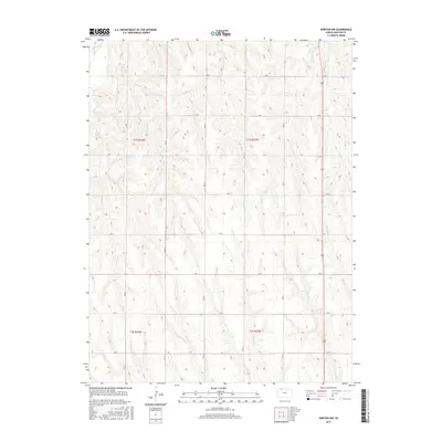
2015 Map of Norton NW
USGS Topo · Published 2015About this map
Sappa Creek flows through the northwest corner of this section of Kansas, part of an intricate drainage system that defines the agricultural landscape of Norton County. The terrain is deeply inscribed by numerous watercourses, including Dutch Creek, Deer Creek, and Robinson Creek, which carve out the high plains topography. A strict section-line road network, such as Road B and Road W 3, divides the land into the traditional 640-acre grids of the Public Land Survey System. These roads serve the rural homesteads and agricultural operations that rely on the seasonal flows of Jones Creek and Spring Branch. This survey illustrates the persistence of the township-and-range layout in the 21st century, showing how modern county infrastructure follows the historic property boundaries established in the late 19th century.
Find a feature on this map
26 named features on this map. Tap any name to fly to it.
Don’t see what you’re looking for? This feature index may not catch every label — zoom into the map to look around manually.
Map Details
Editions of this 2015 Norton NW Map
This is the sole edition of this map. No revisions or reprints were ever made.
Other maps of this area

1893 · Norton
USGS Topo · 1:125,000

1896 · Arapahoe
USGS Topo · 1:125,000

1898 · Arapahoe
USGS Topo · 1:125,000

1951 · Norton
USGS Topo · 1:62,500

1951 · Norcatur
USGS Topo · 1:62,500

1954 · McCook
USGS Topo · 1:250,000

1954 · Goodland
USGS Topo · 1:250,000

1955 · Grand Island
USGS Topo · 1:250,000

1955 · Beloit
USGS Topo · 1:250,000

1956 · Goodland
USGS Topo · 1:250,000