2022 Map of Norton
USGS Topo · Published 2022About this map
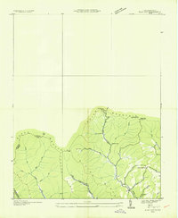
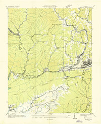
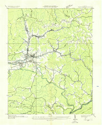
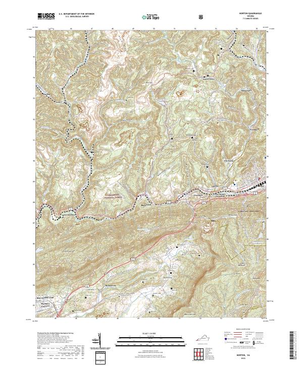
Norton and the surrounding coal-country landscape of Wise County are defined by a complex network of ridges and narrow valleys. Steep terrain like Rogers Ridge and Black Creek Ridge hems in the developed corridors, where industrial sites at Blackwood and rail-inflected hubs like Kent Junction and Dorchester Junction cluster along the Powell River. This geography necessitated a dense system of mountain passes, including Little Stone Gap and Buffalo Gap, which historically funneled travel through the rugged central Appalachian heights.
Find a feature on this map
117 named features on this map. Tap any name to fly to it.
Don’t see what you’re looking for? This feature index may not catch every label — zoom into the map to look around manually.
Map Details
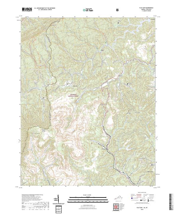
Editions of this 2022 Norton Map
This is the sole edition of this map. No revisions or reprints were ever made.
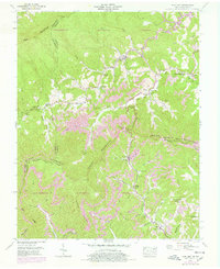
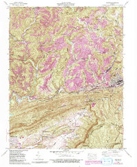
Historical Maps of Laurel Grove Through Time
9 maps found