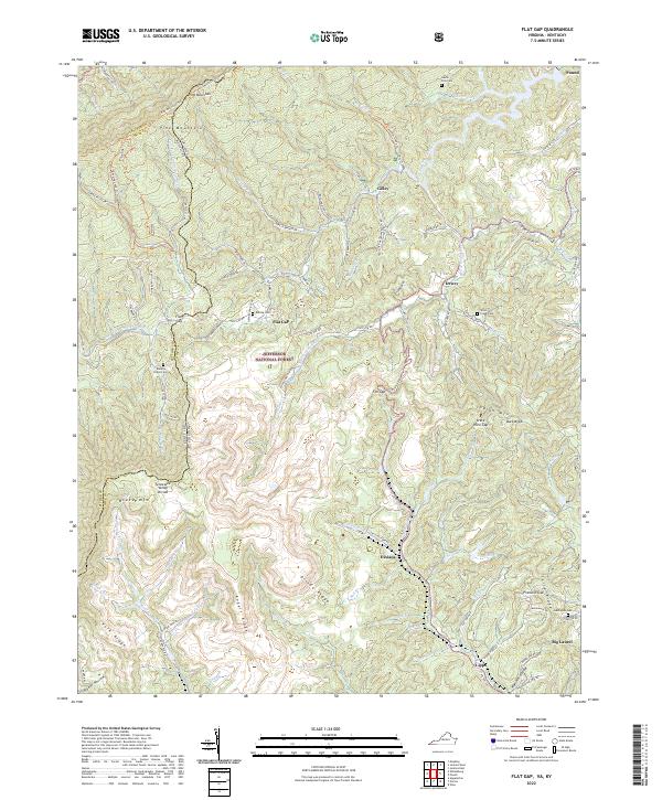
2022 Map of Flat Gap
USGS Topo · Published 2022About this map
Pine Mountain and Black Mtn dominate this rugged section of the Central Appalachians, where the state boundary between Kentucky and Virginia follows the high ridges. This landscape is defined by the Tennessee Valley Divide, a critical geographic boundary separating the headwaters of the Poor Fork Cumberland River from the Guest River and the Powell River systems. Within these deep valleys and gaps, small mountain settlements like Flat Gap, Dixiana, and Dewey are connected by a network of winding hollow roads. Family history is preserved in numerous scattered burial grounds, including Roberts Branch Cem and Bolling Cem, often located near former homesteads in the Jefferson National Forest. The map also details the Pine Mountain State Scenic Trail, which traces the crest of the mountain along the Letcher and Wise County line.
Find a feature on this map
103 named features on this map. Tap any name to fly to it.
Don’t see what you’re looking for? This feature index may not catch every label — zoom into the map to look around manually.
Map Details
Editions of this 2022 Flat Gap Map
This is the sole edition of this map. No revisions or reprints were ever made.
Other maps of this area

1890 · Whitesburg
USGS Topo · 1:125,000

1892 · Whitesburg
USGS Topo · 1:125,000

1894 · Estillville
USGS Topo · 1:125,000

1912 · Pound
USGS Topo · 1:48,000

1913 · Oven Fork
USGS Topo · 1:48,000

1914 · Pound
USGS Topo · 1:62,500

1915 · Whitesburg
USGS Topo · 1:62,500

1920 · Wise
USGS Topo · 1:48,000

1921 · Big Stone Gap
USGS Topo · 1:48,000

1921 · Wise
USGS Topo · 1:62,500