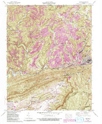
1957 Map of Norton
USGS Topo · Published 1992About this map
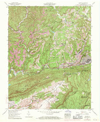
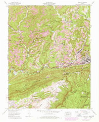
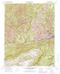
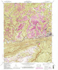
Norton and Big Stone Gap anchor this mid-century survey of the Virginia coalfields, showing a landscape defined by industrial extraction and deep mountain topography. The Powell River winds through the heart of the region, flanked by the Interstate RR and Southern Ry, which served the numerous strip mines and coke ovens dotting the ridges. The map reveals the intricate social geography of Wise County, from established settlements like Dorchester and Josephine to numerous family cemeteries including Stidham Cem, Marcum Cem, and Wampler Cem. This era of documentation shows the extensive reach of the Jefferson National Forest across Stone Mountain, contrasting the protected woodlands with the intensive resource work visible at Dunbar and Stonega. The detailed terrain mapping highlights natural passages like Little Stone Gap and Buffalo Gap, which dictated the early movement of people and industry through the Powell Valley.
Find a feature on this map
78 named features on this map. Tap any name to fly to it.
Don’t see what you’re looking for? This feature index may not catch every label — zoom into the map to look around manually.
Map Details
Editions of this 1957 Norton Map
8 editions found
Other maps of this area

1890 · Whitesburg
USGS Topo · 1:125,000

1892 · Whitesburg
USGS Topo · 1:125,000

1894 · Estillville
USGS Topo · 1:125,000

1912 · Pound
USGS Topo · 1:48,000

1913 · Oven Fork
USGS Topo · 1:48,000

1914 · Pound
USGS Topo · 1:62,500

1915 · Whitesburg
USGS Topo · 1:62,500

1920 · Wise
USGS Topo · 1:48,000

1921 · Big Stone Gap
USGS Topo · 1:48,000

1921 · Wise
USGS Topo · 1:62,500