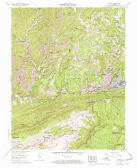
1957 Map of Norton
USGS Topo · Published 1970About this map
Norton and Big Stone Gap anchor this mid-century look at the coal-rich landscape of Wise County, where industrial infrastructure dominates the rugged topography of Little Stone Mountain. The region's economy is clearly defined by numerous strip mines, conveyors, and coke ovens that line the Powell River corridor. The dense settlement patterns of mining camps are evident in the numbered clusters of Stonega, Stonega 81, and Stonega 125, which were purpose-built near the extractive operations. Transport networks like the Louisville and Nashville railroad and Interstate 23 link these production centers. Cultural life is marked by community hubs such as the Lonesome Pine Country Club and Legion Memorial Church, alongside a significant concentration of family burial grounds like the Wampler and Treadway cemeteries, reflecting deep-rooted generational ties to these mountain hollows.
Find a feature on this map
97 named features on this map. Tap any name to fly to it.
Don’t see what you’re looking for? This feature index may not catch every label — zoom into the map to look around manually.
Map Details
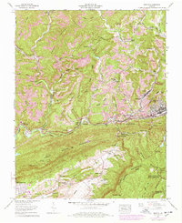
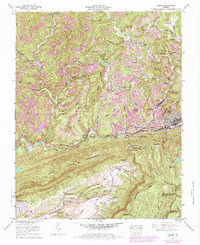
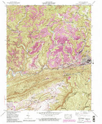
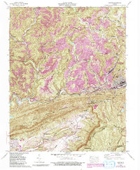
Editions of this 1957 Norton Map
8 editions found
Other maps of this area

1890 · Whitesburg
USGS Topo · 1:125,000

1892 · Whitesburg
USGS Topo · 1:125,000

1894 · Estillville
USGS Topo · 1:125,000

1912 · Pound
USGS Topo · 1:48,000

1913 · Oven Fork
USGS Topo · 1:48,000

1914 · Pound
USGS Topo · 1:62,500

1915 · Whitesburg
USGS Topo · 1:62,500

1920 · Wise
USGS Topo · 1:48,000

1921 · Big Stone Gap
USGS Topo · 1:48,000

1921 · Wise
USGS Topo · 1:62,500