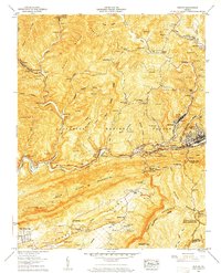
1957 Map of Norton
USGS Topo · Published 1959About this map
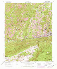
The industrial and community landscapes of Wise County are defined by a complex network of resource extraction and rail infrastructure in the late 1950s. Strip mines dot the ridges of the Jefferson National Forest, with significant activity surrounding settlements like Dorchester and Sutherland. The Interstate RR and the Louisville and Nashville rail lines serve as the area's economic backbone, meeting at critical points like Dorchester Junction and Kent Junction. Beyond the industry, the map reveals a dense social fabric recorded through numerous family cemeteries, including Gibson Cem, Skeen Cem, and Wells Cem. In the southern portion, the transition into Powell Valley is marked by social centers such as the Lonesome Pine Country Club and Buffalo Sch, while the city of Norton stands as the primary urban hub on the eastern edge of Stone Mountain.
Find a feature on this map
85 named features on this map. Tap any name to fly to it.
Don’t see what you’re looking for? This feature index may not catch every label — zoom into the map to look around manually.
Map Details
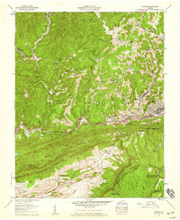
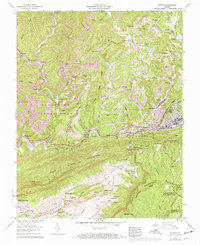
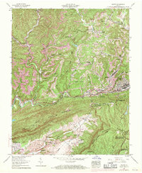
Editions of this 1957 Norton Map
8 editions found
Other maps of this area

1890 · Whitesburg
USGS Topo · 1:125,000

1892 · Whitesburg
USGS Topo · 1:125,000

1894 · Estillville
USGS Topo · 1:125,000

1912 · Pound
USGS Topo · 1:48,000

1913 · Oven Fork
USGS Topo · 1:48,000

1914 · Pound
USGS Topo · 1:62,500

1915 · Whitesburg
USGS Topo · 1:62,500

1920 · Wise
USGS Topo · 1:48,000

1921 · Big Stone Gap
USGS Topo · 1:48,000

1921 · Wise
USGS Topo · 1:62,500