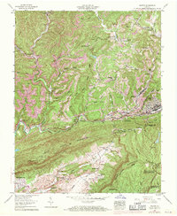
1957 Map of Norton
USGS Topo · Published 1971About this map
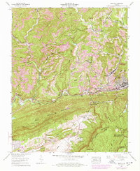
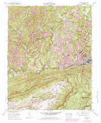
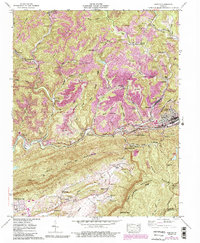
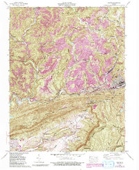
Norton and Big Stone Gap anchor this mid-century topographic study of the Wise County coal country, where the industrial footprint of strip mines follows the high ridges and deep hollows. The Powell River and Louisville and Nashville railroad corridor form the area's vital transportation spine, connecting mountain settlements like Stonega, Blackwood, and Josephine. The map reveals a densely settled landscape of family-named cemeteries such as Gardner Cem and Skeen Cem, alongside community landmarks like Gardner School and the Lonesome Pine Country Club. From the elevations of Stone Mountain to the depths of Hoot Owl Hollow, the geography reflects an era of intense resource extraction balanced with local civic development, including the Stonega Lookout Tower and the sprawling Jefferson National Forest.
Find a feature on this map
72 named features on this map. Tap any name to fly to it.
Don’t see what you’re looking for? This feature index may not catch every label — zoom into the map to look around manually.
Map Details
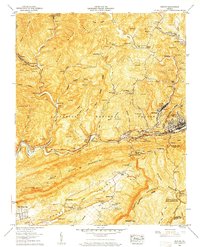
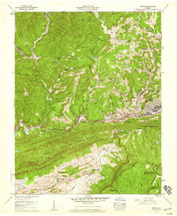
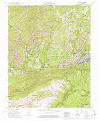
Editions of this 1957 Norton Map
8 editions found
Other maps of this area

1890 · Whitesburg
USGS Topo · 1:125,000

1892 · Whitesburg
USGS Topo · 1:125,000

1894 · Estillville
USGS Topo · 1:125,000

1912 · Pound
USGS Topo · 1:48,000

1913 · Oven Fork
USGS Topo · 1:48,000

1914 · Pound
USGS Topo · 1:62,500

1915 · Whitesburg
USGS Topo · 1:62,500

1920 · Wise
USGS Topo · 1:48,000

1921 · Big Stone Gap
USGS Topo · 1:48,000

1921 · Wise
USGS Topo · 1:62,500