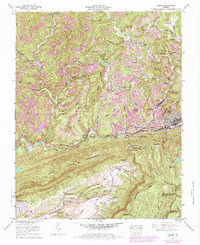
1957 Map of Norton
USGS Topo · Published 1984About this map
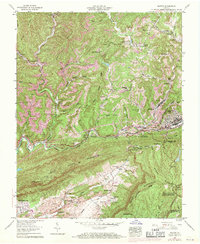
Strip mines scar the ridges surrounding Blackwood and Josephine in this mid-century portrayal of the Virginia coalfields. The landscape is a complex network of industrial extraction and narrow valley settlements, where the Powell River and Interstate RR dictate the path of commerce through the Jefferson National Forest. Notable family landmarks like Wells Cem and Robinette Cem are tucked into the hollows of Amos Ridge and Rogers Ridge, providing essential data for genealogists tracing local lineage. To the south, the terrain rises sharply toward Stone Mountain and Little Stone Mountain, culminating at the High Knob Lookout Tower. This survey documents the transition from traditional Appalachian communities like Dunbar and Craiger to the growing industrial centers at Big Stone Gap and Needmore, balanced by recreational developments such as the Lonesome Pine Country Club.
Find a feature on this map
68 named features on this map. Tap any name to fly to it.
Don’t see what you’re looking for? This feature index may not catch every label — zoom into the map to look around manually.
Map Details
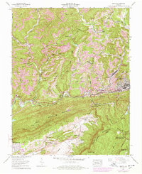
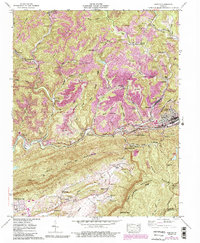
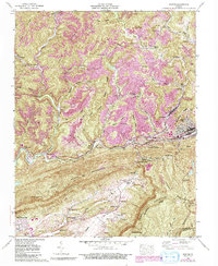
Editions of this 1957 Norton Map
8 editions found
Other maps of this area

1890 · Whitesburg
USGS Topo · 1:125,000

1892 · Whitesburg
USGS Topo · 1:125,000

1894 · Estillville
USGS Topo · 1:125,000

1912 · Pound
USGS Topo · 1:48,000

1913 · Oven Fork
USGS Topo · 1:48,000

1914 · Pound
USGS Topo · 1:62,500

1915 · Whitesburg
USGS Topo · 1:62,500

1920 · Wise
USGS Topo · 1:48,000

1921 · Big Stone Gap
USGS Topo · 1:48,000

1921 · Wise
USGS Topo · 1:62,500