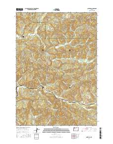
2017 Map of Nortons
USGS Topo · Published 2017About this map
The Yaquina River winds through the southern portion of this Lincoln County landscape, defining the topography around the settlement of Nortons. This mid-2010s survey reveals a region characterized by named ridges and peaks, such as Norton Hill, Tater Hill, and Sch Hill, which overlook a dense network of drainages including Big Rock Cr and Steer Cr. The map captures the dividing line between Lincoln and Polk counties as it traverses high points like Steer Divide and Indian Gap. For genealogists and local historians, the sheet is particularly valuable for its placement of local landmarks like Nortons Cem and Wigle Cem. The presence of Millers Gap and various named logging and access roads, such as Nashville Rd and Logsden Rd, provides a clear view of the modern transit and land use patterns in this part of the Coast Range.
Find a feature on this map
68 named features on this map. Tap any name to fly to it.
Don’t see what you’re looking for? This feature index may not catch every label — zoom into the map to look around manually.
Map Details
Editions of this 2017 Nortons Map
This is the sole edition of this map. No revisions or reprints were ever made.
Other maps of this area

1939 · Marys Peak
USGS Topo · 1:62,500

1942 · Euchre Mtn
USGS Topo · 1:62,500

1942 · Marys Peak
USGS Topo · 1:62,500

1942 · Valsetz
USGS Topo · 1:62,500

1942 · Toledo
USGS Topo · 1:62,500

1943 · Euchre Mtn
USGS Topo · 1:62,500

1953 · Salem
USGS Topo · 1:250,000

1954 · Salem
USGS Topo · 1:250,000

1956 · Valsetz
USGS Topo · 1:62,500

1957 · Marys Peak
USGS Topo · 1:62,500