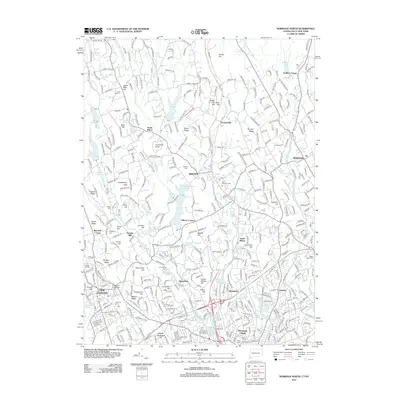
2012 Map of Norwalk North
USGS Topo · Published 2012About this map
Wilton and the surrounding Fairfield County highlands appear here in the early twenty-first century, defined by a densely wooded landscape punctuated by suburban expansion and historical infrastructure. The Norwalk River corridor serves as the primary north-south artery, accompanied by the Metro-North Railroad passing through Cannondale and the center of Wilton. Traces of the region's earlier character are preserved in numerous family and community burial grounds, such as Hickok Cem and Lockwood Cem, alongside landmarks like Cobbs Mill and the Cobbs Mill School near the Weston border. The map documents a complex water system including the South Norwalk Reservoir, Grupes Reservoir, and John D Milne Lake, reflecting the hydrological management necessary for the growing coastal hinterland. Significant terrain features like Sturges Ridge and Huckleberry Hills illustrate the area's elevation patterns between the silver-mining legacy of Silvermine and the residential clusters of Winnipauk Village.
Find a feature on this map
371 named features on this map. Tap any name to fly to it.
Don’t see what you’re looking for? This feature index may not catch every label — zoom into the map to look around manually.
Map Details
Editions of this 2012 Norwalk North Map
This is the sole edition of this map. No revisions or reprints were ever made.
Other maps of this area

1892 · Stamford
USGS Topo · 1:62,500

1892 · Danbury
USGS Topo · 1:62,500

1892 · Norwalk
USGS Topo · 1:62,500

1892 · Carmel
USGS Topo · 1:62,500

1893 · Carmel
USGS Topo · 1:62,500

1893 · Stamford
USGS Topo · 1:62,500

1893 · Norwalk
USGS Topo · 1:62,500

1894 · Carmel
USGS Topo · 1:62,500

1899 · Stamford
USGS Topo · 1:62,500

1915 · Danbury
USGS Topo · 1:62,500