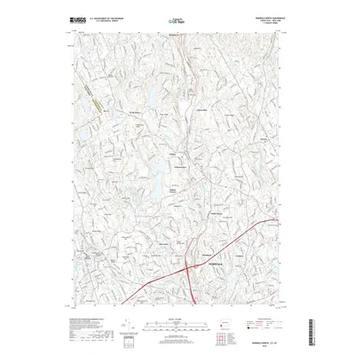
2018 Map of Norwalk North
USGS Topo · Published 2018About this map
The Norwalk River and Saugatuck River valleys define this landscape, where the Metro-North Railroad parallels Danbury Rd through established commuter hubs. This era shows the dense suburban development of Wilton and Wilton Center, contrasted with the residential clusters at Smith Ridge and Silvermine. Water management is a primary feature of the terrain, visible in the Old South Norwalk Reservoir and the Grupes Reservoir, which are tucked between ridges like Belden Hill and Sturges Ridge.
Find a feature on this map
88 named features on this map. Tap any name to fly to it.
Don’t see what you’re looking for? This feature index may not catch every label — zoom into the map to look around manually.
Map Details
Editions of this 2018 Norwalk North Map
This is the sole edition of this map. No revisions or reprints were ever made.
Other maps of this area

1892 · Stamford
USGS Topo · 1:62,500

1892 · Danbury
USGS Topo · 1:62,500

1892 · Norwalk
USGS Topo · 1:62,500

1892 · Carmel
USGS Topo · 1:62,500

1893 · Carmel
USGS Topo · 1:62,500

1893 · Stamford
USGS Topo · 1:62,500

1893 · Norwalk
USGS Topo · 1:62,500

1894 · Carmel
USGS Topo · 1:62,500

1899 · Stamford
USGS Topo · 1:62,500

1915 · Danbury
USGS Topo · 1:62,500