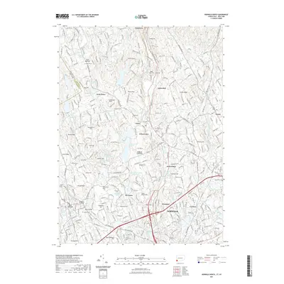
2021 Map of Norwalk North
USGS Topo · Published 2021About this map
Norwalk and the surrounding townships of Wilton, Weston, and New Canaan appear here as a landscape defined by ridges and historic village centers. The Silvermine River winds southward through the heart of the map, passing the distinct settlements of Silvermine and Winnipauk before reaching the urbanized core. The area's complex hydrology is evident in the numerous impoundments such as South Norwalk Reservoir and Grupes Reservoir, reflecting the infrastructure needed for the region's long-term suburban and industrial growth.
Find a feature on this map
142 named features on this map. Tap any name to fly to it.
Don’t see what you’re looking for? This feature index may not catch every label — zoom into the map to look around manually.
Map Details
Editions of this 2021 Norwalk North Map
This is the sole edition of this map. No revisions or reprints were ever made.
Other maps of this area

1892 · Stamford
USGS Topo · 1:62,500

1892 · Danbury
USGS Topo · 1:62,500

1892 · Norwalk
USGS Topo · 1:62,500

1892 · Carmel
USGS Topo · 1:62,500

1893 · Carmel
USGS Topo · 1:62,500

1893 · Stamford
USGS Topo · 1:62,500

1893 · Norwalk
USGS Topo · 1:62,500

1894 · Carmel
USGS Topo · 1:62,500

1899 · Stamford
USGS Topo · 1:62,500

1915 · Danbury
USGS Topo · 1:62,500