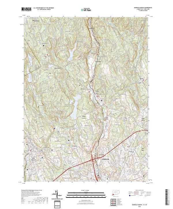
2024 Map of Norwalk North
USGS Topo · Published 2024About this map
The Silvermine River and Comstock Brook networks define this Fairfield County landscape, where the town of Wilton serves as a central hub for residential growth. Moving south through Cannondale and Wilton Center toward the northern reaches of Norwalk, the map reveals a high concentration of localized cemeteries and family-named landmarks like Grumman Hill and Huckleberry Hills.
Find a feature on this map
104 named features on this map. Tap any name to fly to it.
Don’t see what you’re looking for? This feature index may not catch every label — zoom into the map to look around manually.
Map Details
Editions of this 2024 Norwalk North Map
This is the sole edition of this map. No revisions or reprints were ever made.
Other maps of this area

1892 · Stamford
USGS Topo · 1:62,500

1892 · Danbury
USGS Topo · 1:62,500

1892 · Norwalk
USGS Topo · 1:62,500

1892 · Carmel
USGS Topo · 1:62,500

1893 · Carmel
USGS Topo · 1:62,500

1893 · Stamford
USGS Topo · 1:62,500

1893 · Norwalk
USGS Topo · 1:62,500

1894 · Carmel
USGS Topo · 1:62,500

1899 · Stamford
USGS Topo · 1:62,500

1915 · Danbury
USGS Topo · 1:62,500