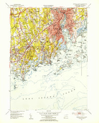
1951 Map of Norwalk South
USGS Topo · Published 1953About this map
The coastal corridor of Fairfield County is captured here in the early 1950s, showing the dense development of Norwalk and Darien alongside the complex coastline of Long Island Sound. The map documents a period of significant suburban infrastructure, with the Merritt Parkway cutting across the northern hills while the New York New Haven and Hartford railroad maintains the primary industrial and commuter artery through South Norwalk.
Find a feature on this map
101 named features on this map. Tap any name to fly to it.
Don’t see what you’re looking for? This feature index may not catch every label — zoom into the map to look around manually.
Map Details
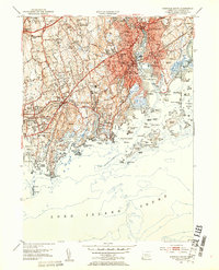
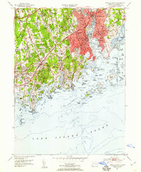
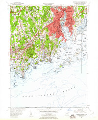
Editions of this 1951 Norwalk South Map
4 editions found
Other maps of this area

1892 · Stamford
USGS Topo · 1:62,500

1892 · Norwalk
USGS Topo · 1:62,500

1893 · Stamford
USGS Topo · 1:62,500

1893 · Norwalk
USGS Topo · 1:62,500

1897 · Oyster Bay
USGS Topo · 1:62,500

1898 · Oyster Bay
USGS Topo · 1:62,500

1899 · Stamford
USGS Topo · 1:62,500

1900 · Oyster Bay
USGS Topo · 1:62,500

1901 · Northport
USGS Topo · 1:62,500

1903 · Northport
USGS Topo · 1:62,500