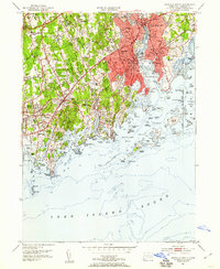
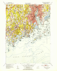
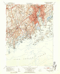
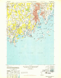
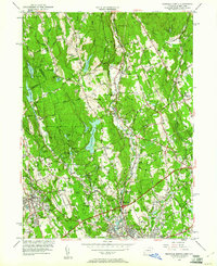
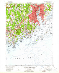
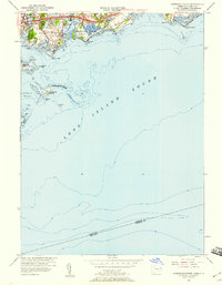
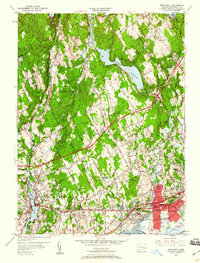
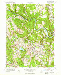
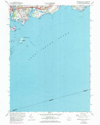
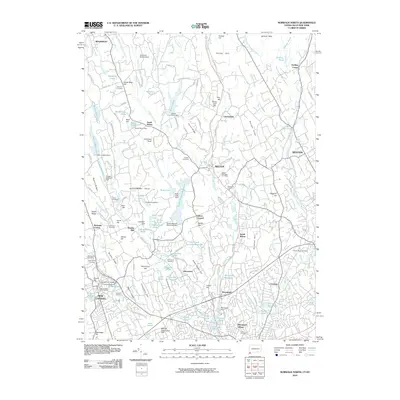
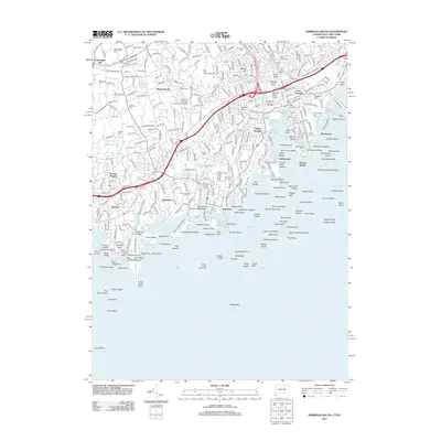
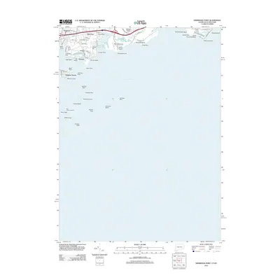
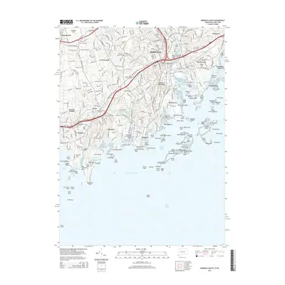
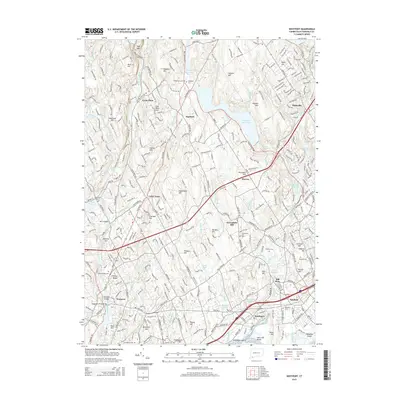
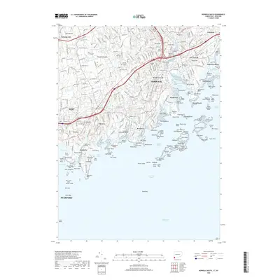
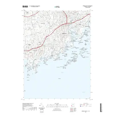
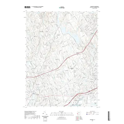
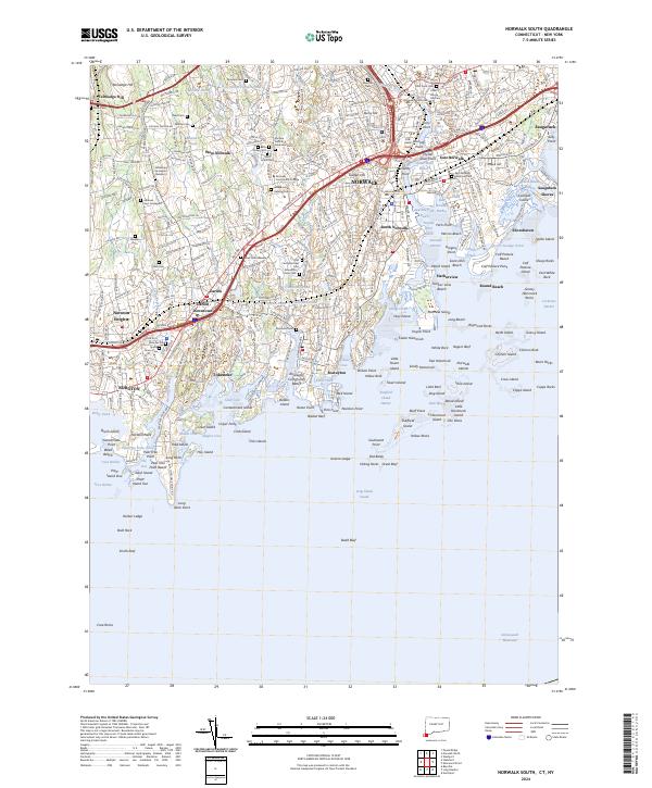
1951 Map of Norwalk South
USGS Topo · Published 1959About this map
Norwalk and its surrounding coastal communities are shown at a period of significant post-war expansion along the Connecticut shore. The landscape is defined by the dense urban core of South Norwalk and East Norwalk, transitioning into the wooded residential corridors of Darien and Rowayton. Transportation is the primary driver of development, with the New York New Haven and Hartford railroad and the Boston Post Road providing vital links between the city and suburban neighborhoods.
Find a feature on this map
103 named features on this map. Tap any name to fly to it.
Don’t see what you’re looking for? This feature index may not catch every label — zoom into the map to look around manually.
Map Details
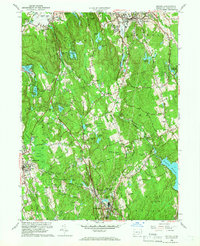
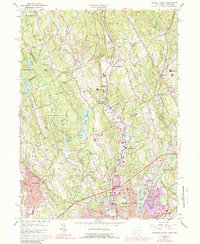
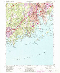
Editions of this 1951 Norwalk South Map
4 editions found
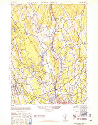
Historical Maps of Huntington Through Time
48 maps found
1943 Norwalk North
Fairfield County, CT
1943 Norwalk South
Fairfield County, CT
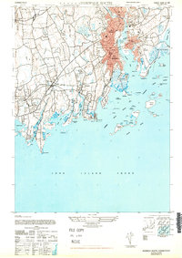
1947 Norwalk South
Fairfield County, CT
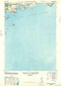
1947 Sherwood Point
Fairfield County, CT
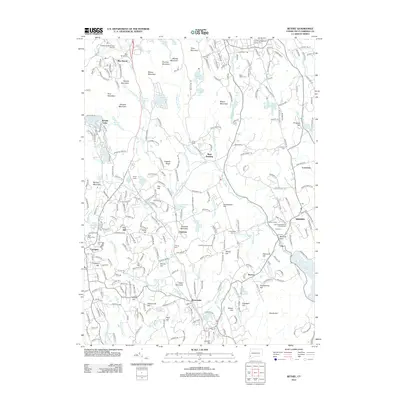
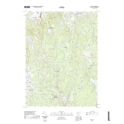
1951 Bethel
Fairfield County, CT
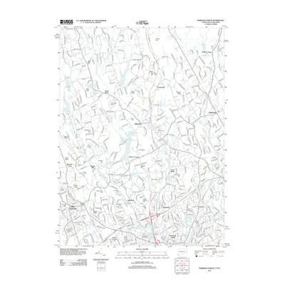
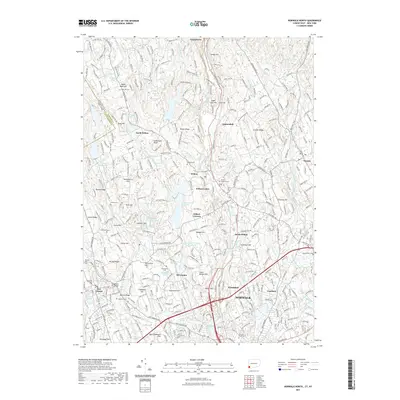
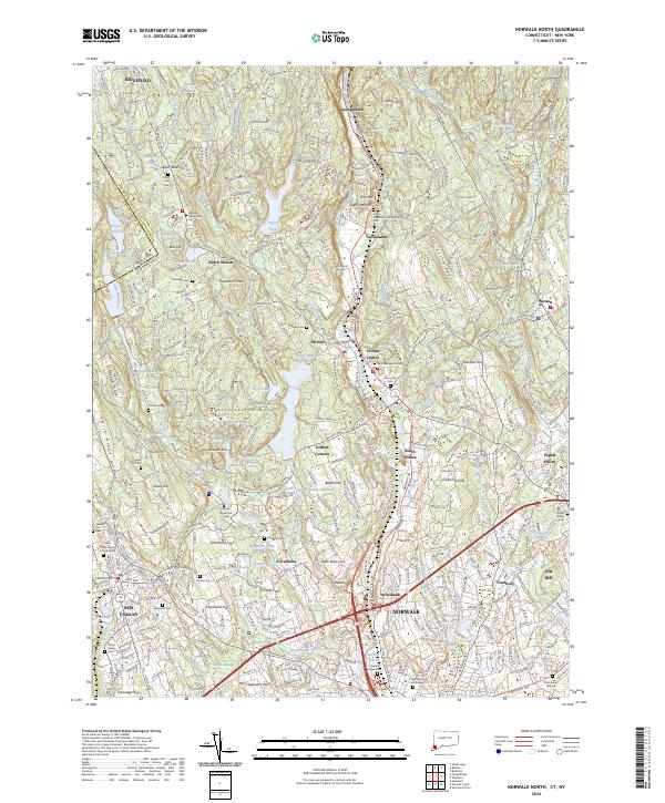
1951 Norwalk North
Fairfield County, CT
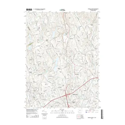
1951 Norwalk South
Fairfield County, CT
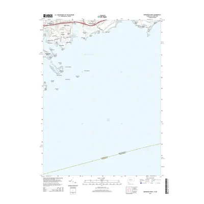
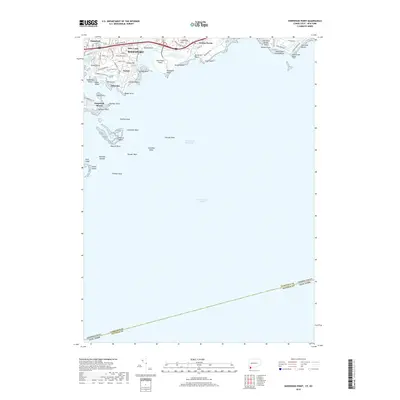
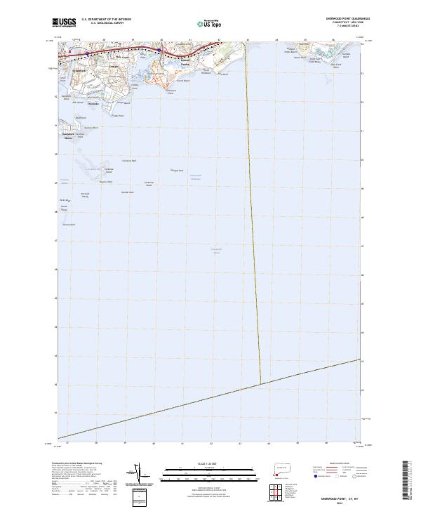
1951 Sherwood Point
Fairfield County, CT
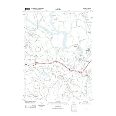
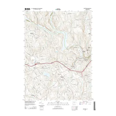
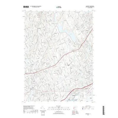
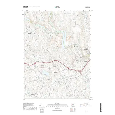
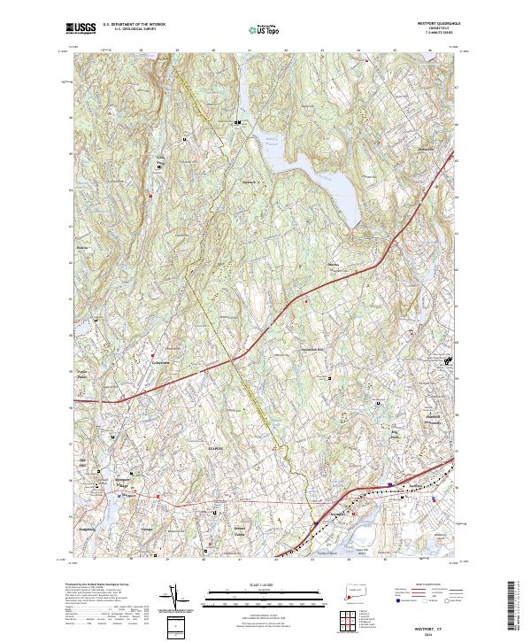
1951 Westport
Fairfield County, CT
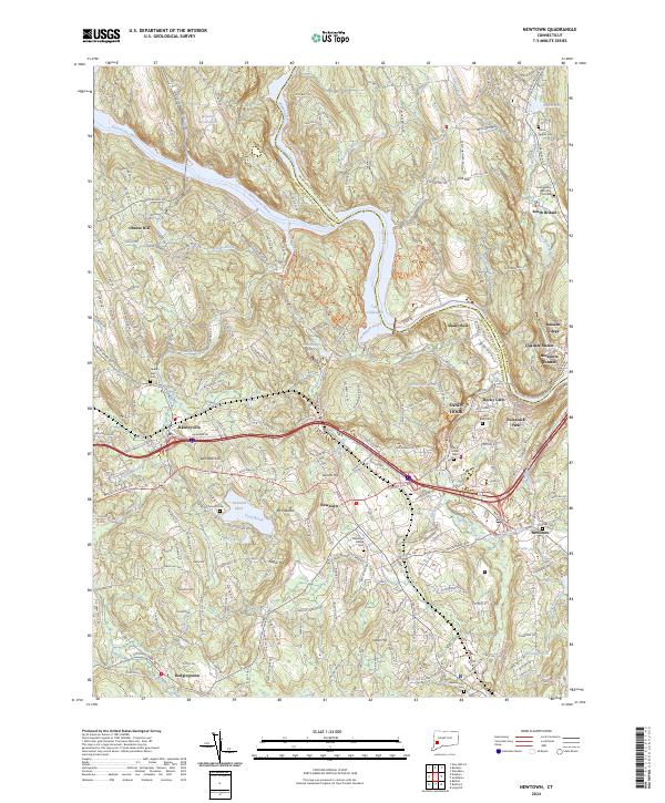
1953 Newtown
Fairfield County, CT
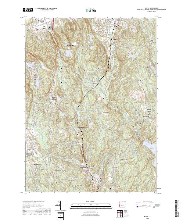
1959 Bethel
Fairfield County, CT
1960 Norwalk North
Fairfield County, CT
1960 Norwalk South
Fairfield County, CT
1960 Sherwood Point
Fairfield County, CT
1960 Westport
Fairfield County, CT
1963 Newtown
Fairfield County, CT
1970 Bethel
Fairfield County, CT
2010 Norwalk North
Fairfield County, CT
2012 Bethel
Fairfield County, CT
2012 Newtown
Fairfield County, CT
2012 Norwalk North
Fairfield County, CT
2012 Norwalk South
Fairfield County, CT
2012 Sherwood Point
Fairfield County, CT
2012 Westport
Fairfield County, CT
2015 Bethel
Fairfield County, CT
2015 Newtown
Fairfield County, CT
2015 Norwalk North
Fairfield County, CT
2015 Norwalk South
Fairfield County, CT
2015 Sherwood Point
Fairfield County, CT
2015 Westport
Fairfield County, CT
2018 Bethel
Fairfield County, CT
2018 Newtown
Fairfield County, CT
2018 Norwalk North
Fairfield County, CT
2018 Norwalk South
Fairfield County, CT
2018 Sherwood Point
Fairfield County, CT
2018 Westport
Fairfield County, CT
2021 Bethel
Fairfield County, CT
2021 Newtown
Fairfield County, CT
2021 Norwalk North
Fairfield County, CT
2021 Norwalk South
Fairfield County, CT
2021 Sherwood Point
Fairfield County, CT
2021 Westport
Fairfield County, CT
2024 Bethel
Fairfield County, CT
2024 Newtown
Fairfield County, CT
2024 Norwalk North
Fairfield County, CT
2024 Norwalk South
Fairfield County, CT
2024 Sherwood Point
Fairfield County, CT
2024 Westport
Fairfield County, CT