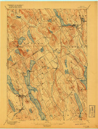
1896 Map of Norway
USGS Topo · Published 1917About this map
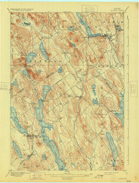
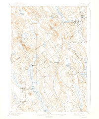
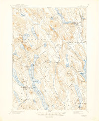
Norway and South Paris serve as the primary hubs in this late nineteenth-century survey of Oxford County, where the transition from rail-served commerce to the lakeside economy of the western Maine interior is clearly visible. The landscape is defined by its substantial water bodies, including the expansive Pennesseewassee Lake and the long, narrow reach of Long Lake. A distinct maritime history is revealed along these shores at Steamer Landing and Plummer Landing, indicating the importance of waterborne transport before modern road networks dominated the region. The map captures many small, established crossroads and mill sites such as Bolsters Mills and Otisfield Gore, while the rural character is underscored by family-named heights like Bell Hill and Scribner Hill. This era shows the Little Androscoggin River and Crooked River as vital arteries for the scattered settlements of Waterford, Harrison, and Otisfield.
Find a feature on this map
82 named features on this map. Tap any name to fly to it.
Don’t see what you’re looking for? This feature index may not catch every label — zoom into the map to look around manually.
Map Details
Editions of this 1896 Norway Map
8 editions found
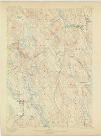
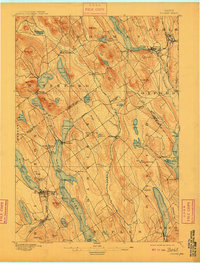
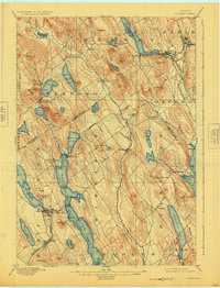
Other maps of this area

1894 · Gray
USGS Topo · 1:62,500

1896 · Norway
USGS Topo · 1:62,500

1896 · Sebago
USGS Topo · 1:62,500

1898 · Gray
USGS Topo · 1:62,500

1908 · Poland
USGS Topo · 1:62,500

1909 · Fryeburg
USGS Topo · 1:62,500

1910 · Kezar Falls
USGS Topo · 1:48,000

1911 · Fryeburg
USGS Topo · 1:62,500

1911 · Kezar Falls
USGS Topo · 1:62,500

1911 · Bryant Pond
USGS Topo · 1:62,500