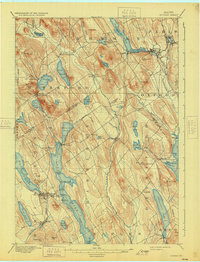
1896 Map of Norway
USGS Topo · Published 1931About this map
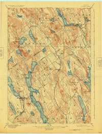
Norway and South Paris serve as the commercial hubs of this Oxford County landscape, which is defined by a dense network of glacial lakes and hills. In the late nineteenth century, the region relied heavily on the water for both transport and industry, evidenced by the Steamboat Route running the length of Long Lake. This corridor connected various points of interest such as Plummer Landing and Steamer Landing, facilitating movement through the interior before the dominance of automobiles.
Find a feature on this map
89 named features on this map. Tap any name to fly to it.
Don’t see what you’re looking for? This feature index may not catch every label — zoom into the map to look around manually.
Map Details
Editions of this 1896 Norway Map
8 editions found
Other maps of this area

1894 · Gray
USGS Topo · 1:62,500

1896 · Norway
USGS Topo · 1:62,500

1896 · Sebago
USGS Topo · 1:62,500

1898 · Gray
USGS Topo · 1:62,500

1908 · Poland
USGS Topo · 1:62,500

1909 · Fryeburg
USGS Topo · 1:62,500

1910 · Kezar Falls
USGS Topo · 1:48,000

1911 · Fryeburg
USGS Topo · 1:62,500

1911 · Kezar Falls
USGS Topo · 1:62,500

1911 · Bryant Pond
USGS Topo · 1:62,500