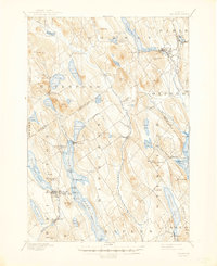
1896 Map of Norway
USGS Topo · Published 1945About this map
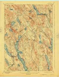
Long Lake and Thompson Lake dominate this late nineteenth-century landscape, serving as vital transportation corridors for the surrounding logging and agricultural communities. The importance of water travel is evident through the designated Steamboat Route on Long Lake, connecting docks such as Plummer Landing, Mackay Landing, and Steamer Landing at the village of Bridgton. To the east, the Grand Trunk railroad links Norway and South Paris, providing the industrial connection to broader markets.
Find a feature on this map
90 named features on this map. Tap any name to fly to it.
Don’t see what you’re looking for? This feature index may not catch every label — zoom into the map to look around manually.
Map Details
Editions of this 1896 Norway Map
8 editions found
Other maps of this area

1894 · Gray
USGS Topo · 1:62,500

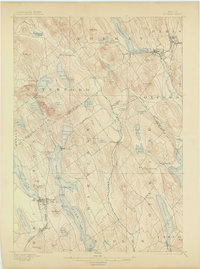
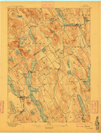
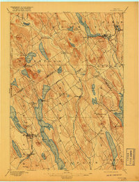
1896 · Norway
USGS Topo · 1:62,500

1896 · Sebago
USGS Topo · 1:62,500

1898 · Gray
USGS Topo · 1:62,500

1908 · Poland
USGS Topo · 1:62,500

1909 · Fryeburg
USGS Topo · 1:62,500

1910 · Kezar Falls
USGS Topo · 1:48,000

1911 · Fryeburg
USGS Topo · 1:62,500

1911 · Kezar Falls
USGS Topo · 1:62,500

1911 · Bryant Pond
USGS Topo · 1:62,500