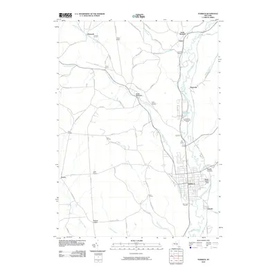
2010 Map of Norwich
USGS Topo · Published 2010About this map
Norwich serves as the primary hub of this area, situated at the confluence of the Chenango River and Canasawacta Creek. The local landscape is defined by the river valley's north-south orientation, with smaller settlements like South Plymouth and Galena following the water's edge. This 2010 survey highlights a community heavily integrated with its historical cemeteries, including Mount Hope Cemetery and Saint Pauls Cemetery, which are significant for genealogical research. The northern reaches are more topographically varied, with Tinker Ridge rising above Plymouth. Infrastructure such as the Lieutenant Warren Eaton Airport indicates the region's continued importance for regional connectivity. The map also reveals the dense network of local roads like Pike Hill Rd and Bates-Wilson Rd that connect rural farmsteads and smaller hamlets such as Stuart Corners and Preston Center, illustrating a settlement pattern that balances town-centered industry with a spread-out agricultural interior.
Find a feature on this map
75 named features on this map. Tap any name to fly to it.
Don’t see what you’re looking for? This feature index may not catch every label — zoom into the map to look around manually.
Map Details
Editions of this 2010 Norwich Map
This is the sole edition of this map. No revisions or reprints were ever made.
Other maps of this area

1902 · Coventry
USGS Topo · 1:62,500

1903 · Norwich
USGS Topo · 1:62,500

1904 · Oxford
USGS Topo · 1:62,500

1910 · New Berlin
USGS Topo · 1:62,500

1912 · New Berlin
USGS Topo · 1:62,500

1915 · Unadilla
USGS Topo · 1:62,500

1918 · Unadilla
USGS Topo · 1:62,500

1943 · Otselic
USGS Topo · 1:24,000

1943 · Holmesville
USGS Topo · 1:24,000

1943 · Norwich
USGS Topo · 1:24,000