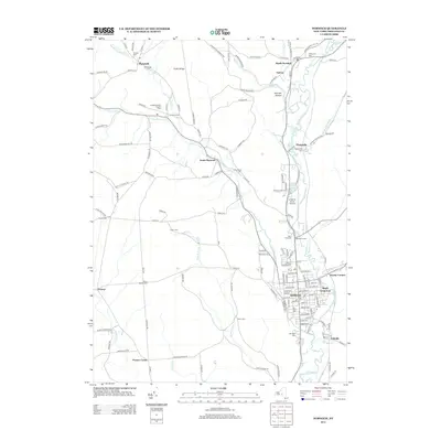
2013 Map of Norwich
USGS Topo · Published 2013About this map
Norwich serves as the commercial and civic heart of this Chenango County landscape, situated along the Chenango River where multiple local streams converge. The town's grid is dense with named streets and historic burial grounds, including the large Mt Hope Cem and Saint Pauls Cem near the riverbanks. Moving outward from the city center, the terrain rises toward Tinker Ridge and German Hollow, where the landscape transitions into a network of upland farms and smaller settlements.
Find a feature on this map
144 named features on this map. Tap any name to fly to it.
Don’t see what you’re looking for? This feature index may not catch every label — zoom into the map to look around manually.
Map Details
Editions of this 2013 Norwich Map
This is the sole edition of this map. No revisions or reprints were ever made.
Other maps of this area
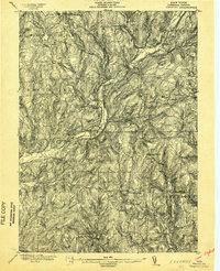
1902 · Coventry
USGS Topo · 1:62,500
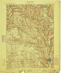
1903 · Norwich
USGS Topo · 1:62,500
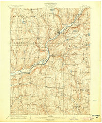
1904 · Oxford
USGS Topo · 1:62,500
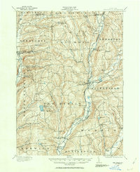
1910 · New Berlin
USGS Topo · 1:62,500
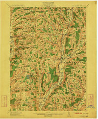
1912 · New Berlin
USGS Topo · 1:62,500
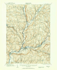
1915 · Unadilla
USGS Topo · 1:62,500
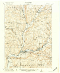
1918 · Unadilla
USGS Topo · 1:62,500
1943 · Otselic
USGS Topo · 1:24,000
1943 · Holmesville
USGS Topo · 1:24,000
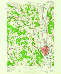
1943 · Norwich
USGS Topo · 1:24,000