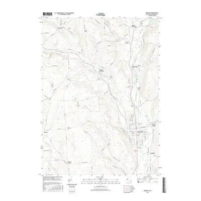
2016 Map of Norwich
USGS Topo · Published 2016About this map
The Norwich city center and its surrounding hill country define this Chenango County landscape, where the Chenango River valley meets the rugged drainages of Canasawacta Creek. The map documents a high density of small rural burial grounds, including the Packer-Mason Cem and Slater Cem, which serve as vital markers for genealogists tracing early families in Preston and Plymouth. Significant local aviation history is represented by the Lt Warren Eaton Airport north of the city.
Find a feature on this map
118 named features on this map. Tap any name to fly to it.
Don’t see what you’re looking for? This feature index may not catch every label — zoom into the map to look around manually.
Map Details
Editions of this 2016 Norwich Map
This is the sole edition of this map. No revisions or reprints were ever made.
Other maps of this area

1902 · Coventry
USGS Topo · 1:62,500

1903 · Norwich
USGS Topo · 1:62,500

1904 · Oxford
USGS Topo · 1:62,500

1910 · New Berlin
USGS Topo · 1:62,500

1912 · New Berlin
USGS Topo · 1:62,500

1915 · Unadilla
USGS Topo · 1:62,500

1918 · Unadilla
USGS Topo · 1:62,500

1943 · Otselic
USGS Topo · 1:24,000

1943 · Holmesville
USGS Topo · 1:24,000

1943 · Norwich
USGS Topo · 1:24,000