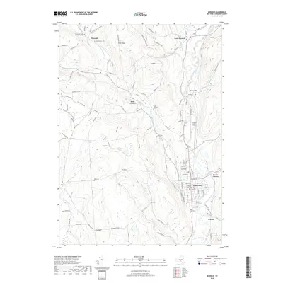
2019 Map of Norwich
USGS Topo · Published 2019About this map
The Chenango River valley and its surrounding highlands anchor this detailed 2019 survey, centered on the city of Norwich. The landscape reflects a deeply rooted settlement pattern, where the river and Canasawacta Creek converge near the Chenango County Court House. This valley has long served as a primary transportation corridor, now hosting the Lt Warren Eaton Airport and numerous hamlets like Plasterville and Polkville.
Find a feature on this map
80 named features on this map. Tap any name to fly to it.
Don’t see what you’re looking for? This feature index may not catch every label — zoom into the map to look around manually.
Map Details
Editions of this 2019 Norwich Map
This is the sole edition of this map. No revisions or reprints were ever made.
Other maps of this area
1902 · Coventry
USGS Topo · 1:62,500
1903 · Norwich
USGS Topo · 1:62,500
1904 · Oxford
USGS Topo · 1:62,500
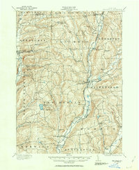
1910 · New Berlin
USGS Topo · 1:62,500
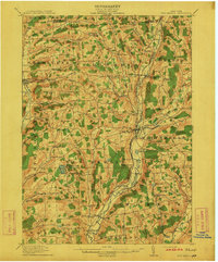
1912 · New Berlin
USGS Topo · 1:62,500
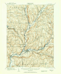
1915 · Unadilla
USGS Topo · 1:62,500
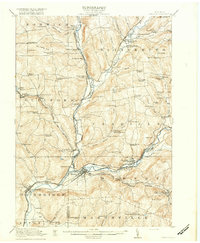
1918 · Unadilla
USGS Topo · 1:62,500
1943 · Otselic
USGS Topo · 1:24,000
1943 · Holmesville
USGS Topo · 1:24,000
1943 · Norwich
USGS Topo · 1:24,000