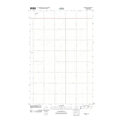
2011 Map of Norwich
USGS Topo · Published 2011About this map
Norwich and Genoa anchor this portion of McHenry County, where the landscape is defined by the strict rectilinear grid of the Public Land Survey System. The map reveals the agricultural organization of the early 21st-century prairie, with numbered avenues such as 19th Ave N and 14th Ave N intersecting with roads like 56th St N to form a precise network of transport and land division. The settlement of Norwich appears in the northwest, situated along the corridor of Route 2, while Genoa sits further south along the western edge. These small rural centers provide a look at the enduring settlement patterns in North Dakota, where isolated communities remain connected by a sparse but essential web of rural roads and highways crossing the open plains.
Find a feature on this map
17 named features on this map. Tap any name to fly to it.
Don’t see what you’re looking for? This feature index may not catch every label — zoom into the map to look around manually.
Map Details
Editions of this 2011 Norwich Map
This is the sole edition of this map. No revisions or reprints were ever made.
Other maps of this area

1929 · Sawyer
USGS Topo · 1:62,500

1948 · Voltaire
USGS Topo · 1:24,000

1948 · Velva
USGS Topo · 1:62,500

1948 · Sawyer
USGS Topo · 1:24,000

1949 · Norwich
USGS Topo · 1:24,000

1949 · Sawyer
USGS Topo · 1:24,000

1949 · Simcoe
USGS Topo · 1:24,000

1949 · Sawyer NE
USGS Topo · 1:24,000

1949 · Velva
USGS Topo · 1:24,000

1949 · Deering SE
USGS Topo · 1:24,000