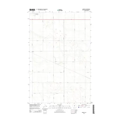
2014 Map of Norwich
USGS Topo · Published 2014About this map
The prairie landscape of McHenry County is punctuated by the small settlement of Norwich in this 2014 survey. Located in the northern reaches of the quadrangle along the primary corridor of Us-2, the area transitions from established residential blocks to the open agricultural grid typical of the North Dakota plains. The survey documents a network of section line roads, including 19th Ave N and 16th Ave N, which provide access to the surrounding farmsteads and fields.
Find a feature on this map
16 named features on this map. Tap any name to fly to it.
Don’t see what you’re looking for? This feature index may not catch every label — zoom into the map to look around manually.
Map Details
Editions of this 2014 Norwich Map
This is the sole edition of this map. No revisions or reprints were ever made.
Other maps of this area

1929 · Sawyer
USGS Topo · 1:62,500

1948 · Voltaire
USGS Topo · 1:24,000

1948 · Velva
USGS Topo · 1:62,500

1948 · Sawyer
USGS Topo · 1:24,000

1949 · Norwich
USGS Topo · 1:24,000

1949 · Sawyer
USGS Topo · 1:24,000

1949 · Simcoe
USGS Topo · 1:24,000

1949 · Sawyer NE
USGS Topo · 1:24,000

1949 · Velva
USGS Topo · 1:24,000

1949 · Deering SE
USGS Topo · 1:24,000