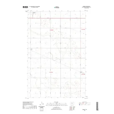
2020 Map of Norwich
USGS Topo · Published 2020About this map
Norwich and Genoa anchor this McHenry County landscape, showing the persistent grid of the Public Land Survey System that continues to organize the North Dakota prairie. The terrain is defined by a complex network of wetlands and small water bodies that pocket the northern half of the map, particularly through t155n r80w and t155n r79w. To the southeast, the North Prairie Lutheran Cem stands as a focal point for genealogical research, situated along 14th Ave N. A meticulous system of section-line roads, including 57th St N and Norwich Rd, connects the scattered farmsteads and agricultural plots, reflecting the enduring rural character and land-use patterns of the region into the twenty-first century.
Find a feature on this map
22 named features on this map. Tap any name to fly to it.
Don’t see what you’re looking for? This feature index may not catch every label — zoom into the map to look around manually.
Map Details
Editions of this 2020 Norwich Map
This is the sole edition of this map. No revisions or reprints were ever made.
Other maps of this area

1929 · Sawyer
USGS Topo · 1:62,500

1948 · Voltaire
USGS Topo · 1:24,000

1948 · Velva
USGS Topo · 1:62,500

1948 · Sawyer
USGS Topo · 1:24,000

1949 · Norwich
USGS Topo · 1:24,000

1949 · Sawyer
USGS Topo · 1:24,000

1949 · Simcoe
USGS Topo · 1:24,000

1949 · Sawyer NE
USGS Topo · 1:24,000

1949 · Velva
USGS Topo · 1:24,000

1949 · Deering SE
USGS Topo · 1:24,000