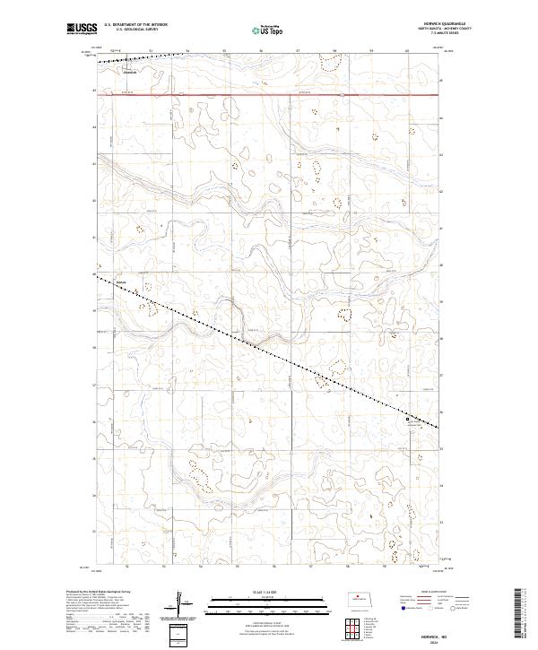
2024 Map of Norwich
USGS Topo · Published 2024About this map
Norwich and Genoa anchor this agricultural landscape in McHenry County, where the topography is defined by the subtle contours of the northern plains. The survey illustrates a highly organized section line road network, including thoroughfares such as 57th St N and 19th Ave N, which partition the prairie into the townships of t155n r80w and t154n r80w. A significant point of local heritage is the North Prairie Lutheran Cem located in the southeastern quadrant, representing the enduring legacy of the region's early settlers and their community institutions. The map reveals the intricate drainage patterns and small wetlands characteristic of this North Dakota terrain, providing a clear view of the rural infrastructure as it stood in the early 2020s.
Find a feature on this map
23 named features on this map. Tap any name to fly to it.
Don’t see what you’re looking for? This feature index may not catch every label — zoom into the map to look around manually.
Map Details
Editions of this 2024 Norwich Map
This is the sole edition of this map. No revisions or reprints were ever made.
Other maps of this area

1929 · Sawyer
USGS Topo · 1:62,500

1948 · Voltaire
USGS Topo · 1:24,000

1948 · Velva
USGS Topo · 1:62,500

1948 · Sawyer
USGS Topo · 1:24,000

1949 · Norwich
USGS Topo · 1:24,000

1949 · Sawyer
USGS Topo · 1:24,000

1949 · Simcoe
USGS Topo · 1:24,000

1949 · Sawyer NE
USGS Topo · 1:24,000

1949 · Velva
USGS Topo · 1:24,000

1949 · Deering SE
USGS Topo · 1:24,000