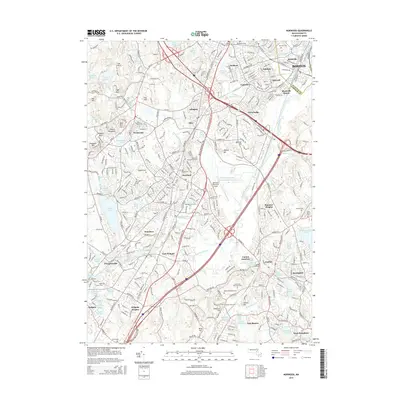
2015 Map of Norwood
USGS Topo · Published 2015About this map
The Neponset River winds through this industrial and suburban corridor southwest of Boston, where the historical rail infrastructure of the Mbta connects established town centers. The landscape is defined by its deep roots, visible in the numerous burial grounds like Old Parish Cem in Norwood and Maple Grove Cem in Walpole. Significant civil engineering is represented by the Canton Viaduct near Canton Junction, a testament to the region's 19th-century rail expansion that enabled the growth of neighborhoods like Readville Manor and Endicott.
Find a feature on this map
88 named features on this map. Tap any name to fly to it.
Don’t see what you’re looking for? This feature index may not catch every label — zoom into the map to look around manually.
Map Details
Editions of this 2015 Norwood Map
This is the sole edition of this map. No revisions or reprints were ever made.
Other maps of this area

1886 · Dedham
USGS Topo · 1:62,500

1886 · Framingham
USGS Topo · 1:62,500

1887 · Franklin
USGS Topo · 1:62,500

1889 · Franklin
USGS Topo · 1:62,500

1889 · Framingham
USGS Topo · 1:62,500

1893 · Franklin
USGS Topo · 1:62,500

1893 · Boston
USGS Topo · 1:62,500

1894 · Dedham
USGS Topo · 1:62,500

1894 · Framingham
USGS Topo · 1:62,500

1903 · Boston
USGS Topo · 1:62,500