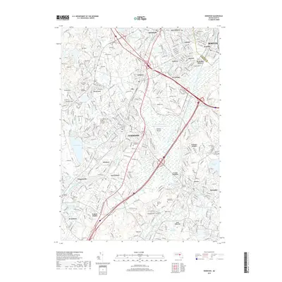
2018 Map of Norwood
USGS Topo · Published 2018About this map
The Neponset River winds through this heavily developed corridor south of Boston, defining a landscape of historic suburban industrial centers and residential pockets. Extensive wetlands like the Fowl Meadows and Fisher Meadows persist alongside major transport hubs, most notably the Norwood Memorial Airport. The map documents a dense network of rail-era settlements including Islington, Readville, and Plimptonville, many of which grew around early mills and factories.
Find a feature on this map
90 named features on this map. Tap any name to fly to it.
Don’t see what you’re looking for? This feature index may not catch every label — zoom into the map to look around manually.
Map Details
Editions of this 2018 Norwood Map
This is the sole edition of this map. No revisions or reprints were ever made.
Other maps of this area

1886 · Dedham
USGS Topo · 1:62,500

1886 · Framingham
USGS Topo · 1:62,500

1887 · Franklin
USGS Topo · 1:62,500

1889 · Franklin
USGS Topo · 1:62,500

1889 · Framingham
USGS Topo · 1:62,500

1893 · Franklin
USGS Topo · 1:62,500

1893 · Boston
USGS Topo · 1:62,500

1894 · Dedham
USGS Topo · 1:62,500

1894 · Framingham
USGS Topo · 1:62,500

1903 · Boston
USGS Topo · 1:62,500