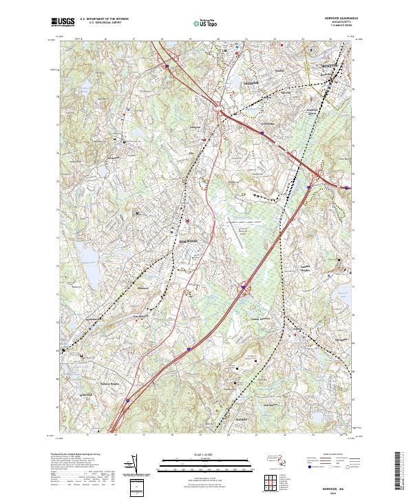
2024 Map of Norwood
USGS Topo · Published 2024About this map
The Neponset River corridor serves as the primary hydrological spine of this region, winding through a complex of suburban settlements and industrial pockets including Norwood, Walpole, and Dedham. The landscape is notably punctuated by numerous small ponds and brooks, such as Willett Pond and Purgatory Brook, which historically supported the milling and manufacturing growth of Norfolk County. Modern transportation infrastructure like the Boston-Providence Tpke and the Dedham Rail Trl overlays a much older pattern of burial grounds and family-named hills.
Find a feature on this map
96 named features on this map. Tap any name to fly to it.
Don’t see what you’re looking for? This feature index may not catch every label — zoom into the map to look around manually.
Map Details
Editions of this 2024 Norwood Map
This is the sole edition of this map. No revisions or reprints were ever made.
Other maps of this area

1886 · Dedham
USGS Topo · 1:62,500

1886 · Framingham
USGS Topo · 1:62,500

1887 · Franklin
USGS Topo · 1:62,500

1889 · Franklin
USGS Topo · 1:62,500

1889 · Framingham
USGS Topo · 1:62,500

1893 · Franklin
USGS Topo · 1:62,500

1893 · Boston
USGS Topo · 1:62,500

1894 · Dedham
USGS Topo · 1:62,500

1894 · Framingham
USGS Topo · 1:62,500

1903 · Boston
USGS Topo · 1:62,500