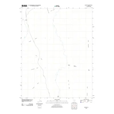
2010 Map of Notom
USGS Topo · Published 2010About this map
Notom sits at the edge of a high desert landscape where the transition from low-lying flats to elevated plateaus defines the local geography. The area is marked by a complex drainage system including Sandy Creek, which winds its way southward through the center of the sheet. To the west, the Notom Bench and the prominent Caineville Reef provide significant geological boundaries. These landforms influenced the placement of the Notom Bullfrog Basin Rd, the primary corridor for travel through this part of the county.
Find a feature on this map
18 named features on this map. Tap any name to fly to it.
Don’t see what you’re looking for? This feature index may not catch every label — zoom into the map to look around manually.
Map Details
Editions of this 2010 Notom Map
This is the sole edition of this map. No revisions or reprints were ever made.
Other maps of this area

1885 · San Rafael
USGS Topo · 1:250,000

1885 · Fish Lake
USGS Topo · 1:250,000

1896 · Fish Lake
USGS Topo · 1:250,000

1952 · Notom 4 SE
USGS Topo · 1:24,000

1952 · Notom 4 NW
USGS Topo · 1:24,000

1952 · Notom 4 SW
USGS Topo · 1:24,000

1952 · Notom 4 NE
USGS Topo · 1:24,000

1952 · Notom 1 SW
USGS Topo · 1:24,000

1952 · Notom
USGS Topo · 1:62,500

1954 · Mt. Ellen 2 SW
USGS Topo · 1:24,000