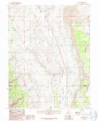
1987 Map of Notom
USGS Topo · Published 1987About this map
Notom sits at the base of the Caineville Reef, serving as a focal point for this 1980s landscape where Wayne and Garfield counties meet. The area is defined by sharp topographic contrasts, including the expansive Notom Bench and the high elevations of Thompson Mesa and Wildcat Mesa. A complex network of drainage systems, such as Sandy Creek, Pleasant Creek, and Burro Wash, cuts through the terrain, illustrating the hydrological patterns that have shaped the entrance to Capitol Reef National Park.
Find a feature on this map
22 named features on this map. Tap any name to fly to it.
Don’t see what you’re looking for? This feature index may not catch every label — zoom into the map to look around manually.
Map Details
Editions of this 1987 Notom Map
This is the sole edition of this map. No revisions or reprints were ever made.
Other maps of this area

1885 · San Rafael
USGS Topo · 1:250,000

1885 · Fish Lake
USGS Topo · 1:250,000

1896 · Fish Lake
USGS Topo · 1:250,000

1952 · Notom 4 SE
USGS Topo · 1:24,000

1952 · Notom 4 NW
USGS Topo · 1:24,000

1952 · Notom 4 SW
USGS Topo · 1:24,000

1952 · Notom 4 NE
USGS Topo · 1:24,000

1952 · Notom 1 SW
USGS Topo · 1:24,000

1952 · Notom
USGS Topo · 1:62,500

1954 · Mt. Ellen 2 SW
USGS Topo · 1:24,000