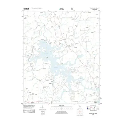
2011 Map of Nottely Dam
USGS Topo · Published 2011About this map
Nottely Lake dominates this Blue Ridge landscape, shaped by the impoundment of the Nottely River at the Nottely Dam. The surrounding terrain is marked by numerous gaps and peaks, including Wolfpen Gap, Moccasin Gap, and Gumlog Mountain, which dictated the early settlement patterns and road networks. Smaller communities and family landmarks such as Loudermilk Bend, Ivylog, and Bethlehem sit at the edges of the water, preserving a record of the area's rural history before and after the reservoir's creation.
Find a feature on this map
128 named features on this map. Tap any name to fly to it.
Don’t see what you’re looking for? This feature index may not catch every label — zoom into the map to look around manually.
Map Details
Editions of this 2011 Nottely Dam Map
This is the sole edition of this map. No revisions or reprints were ever made.
Other maps of this area

1886 · Dahlonega
USGS Topo · 1:125,000

1888 · Ellijay
USGS Topo · 1:125,000

1892 · Dahlonega
USGS Topo · 1:125,000

1892 · Ellijay
USGS Topo · 1:125,000

1893 · Murphy
USGS Topo · 1:125,000

1896 · Dahlonega
USGS Topo · 1:125,000

1898 · Ellijay
USGS Topo · 1:125,000

1903 · Dahlonega
USGS Topo · 1:125,000

1911 · Ellijay
USGS Topo · 1:125,000

1914 · Murphy
USGS Topo · 1:125,000