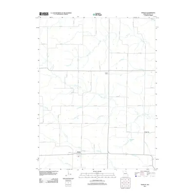
2012 Map of Novelty
USGS Topo · Published 2012About this map
The community of Novelty sits at a rural crossroads in southern Knox County, serving as a primary point of settlement within this agricultural landscape. The surrounding terrain is defined by a dense network of watercourses, most notably the Little Fabius River and the North River, which carve through the region alongside smaller tributaries like Norwegian Creek and Pleasant Run. This hydrology is further shaped by local landmarks such as the Number 76 Dam and Douglas Lake near the eastern border.
Find a feature on this map
58 named features on this map. Tap any name to fly to it.
Don’t see what you’re looking for? This feature index may not catch every label — zoom into the map to look around manually.
Map Details
Editions of this 2012 Novelty Map
This is the sole edition of this map. No revisions or reprints were ever made.
Other maps of this area

1903 · Edina
USGS Topo · 1:125,000

1908 · Atlanta
USGS Topo · 1:62,500

1953 · Moberly
USGS Topo · 1:250,000

1954 · Centerville
USGS Topo · 1:250,000

1954 · Moberly
USGS Topo · 1:250,000

1957 · Moberly
USGS Topo · 1:250,000

1957 · Centerville
USGS Topo · 1:250,000

1958 · Centerville
USGS Topo · 1:250,000

1960 · Moberly
USGS Topo · 1:250,000
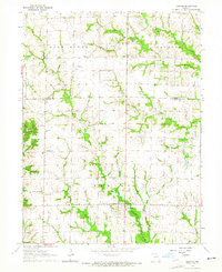
1963 · Leonard
USGS Topo · 1:24,000