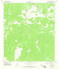
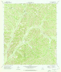
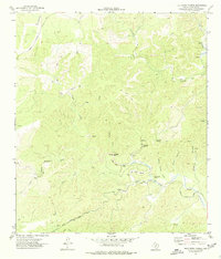
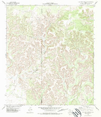
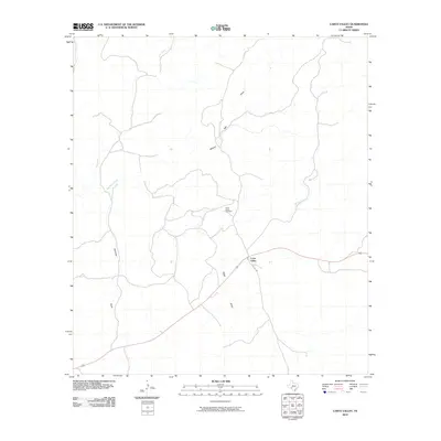
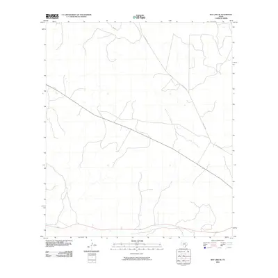
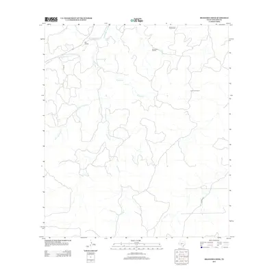
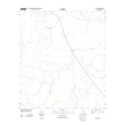
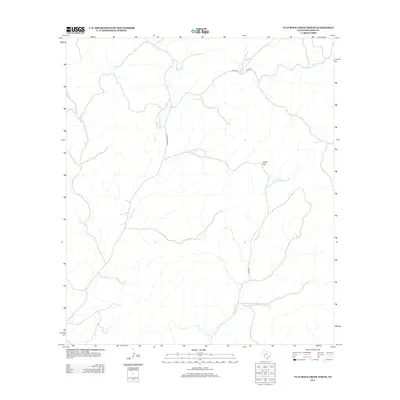
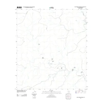
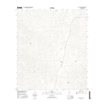
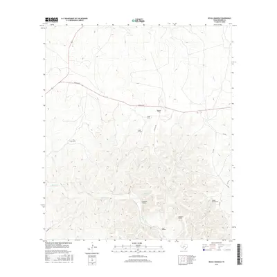
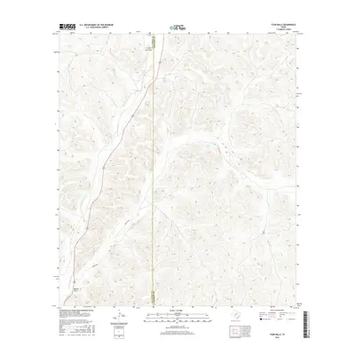
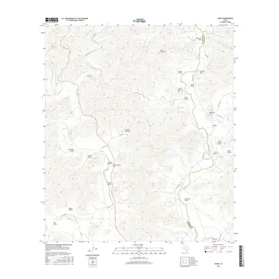
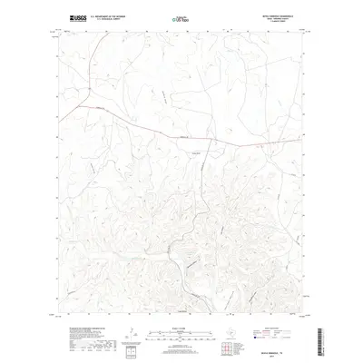
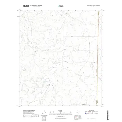
1896 Map of Nueces
USGS Topo · Published 1911About this map
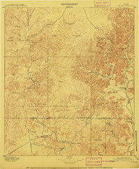
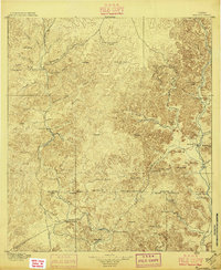
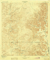
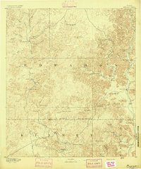
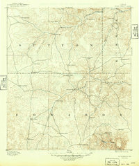
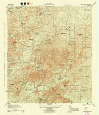
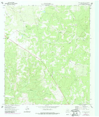
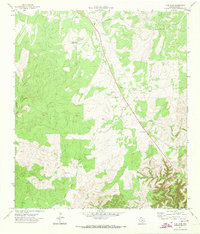
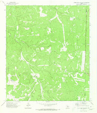
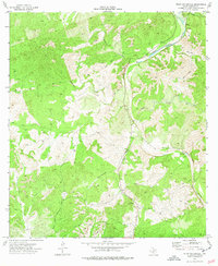
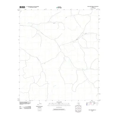
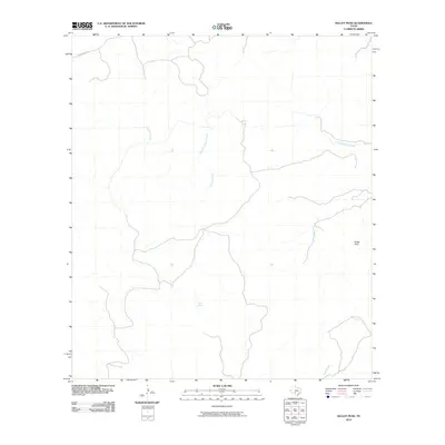
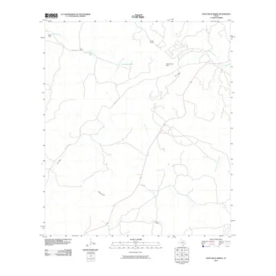
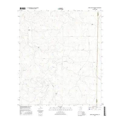
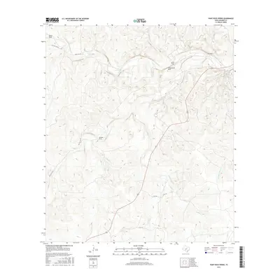
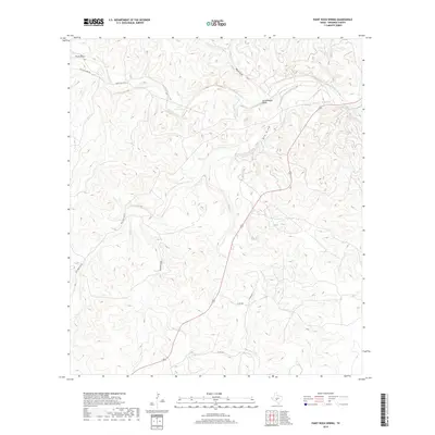
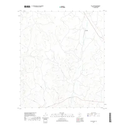
The upper Nueces River valley in the early 1890s appears as a landscape defined by isolated ranching outposts and high limestone breaks. This survey by A.H. Thompson and R.U. Goode documents a transitional era for the Balcones Escarpment, where water sources like Kickapoo Spring, Black Water Hole, and Polecat Springs determined the placement of early settlements. Isolated family operations such as Ford and Holliday Ranch and Wheat and Luckys Ranch dot the creek drainage systems, illustrating the early footprint of the Texas Hill Country cattle industry.
Find a feature on this map
74 named features on this map. Tap any name to fly to it.
Don’t see what you’re looking for? This feature index may not catch every label — zoom into the map to look around manually.
Map Details
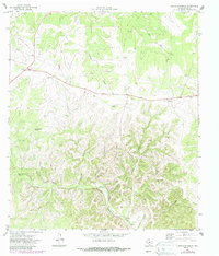
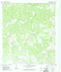
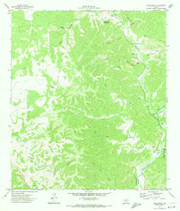
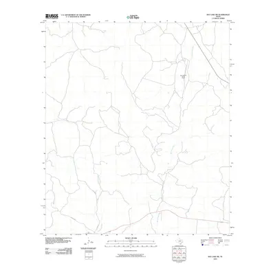
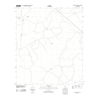
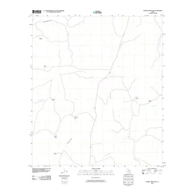
Editions of this 1896 Nueces Map
4 editions found
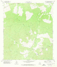
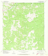
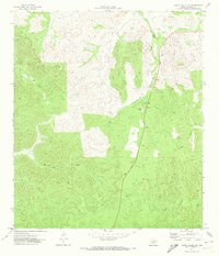
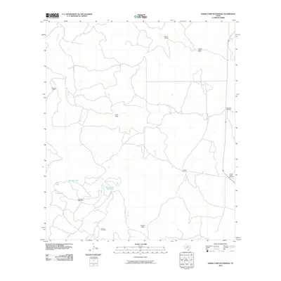
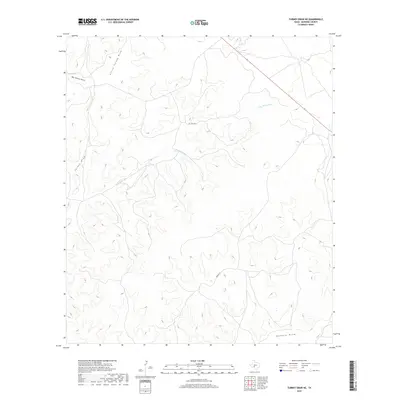
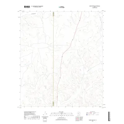
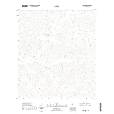
Historical Maps of Camp Wood Through Time
189 maps found
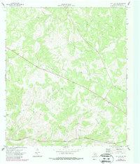
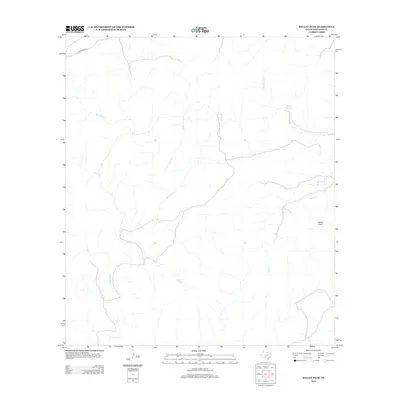
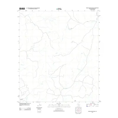
1893 Nueces
Edwards County, TX
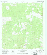
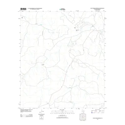
1893 Rock Springs
Edwards County, TX
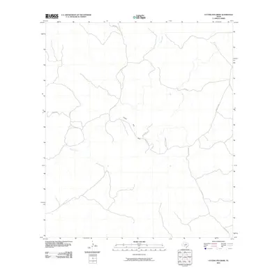
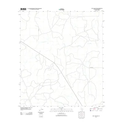
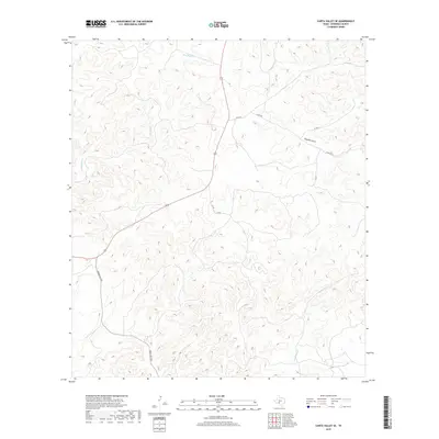
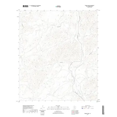
1896 Nueces
Edwards County, TX
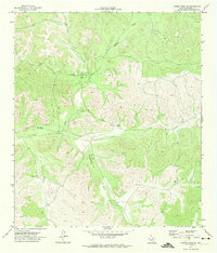
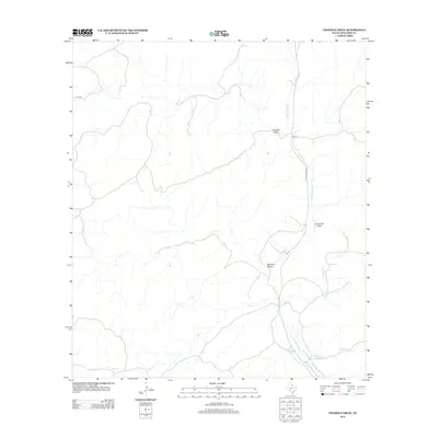
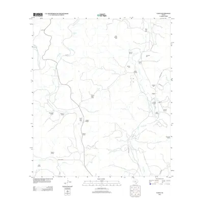
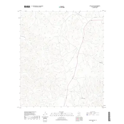
1943 Carta Valley
Edwards County, TX
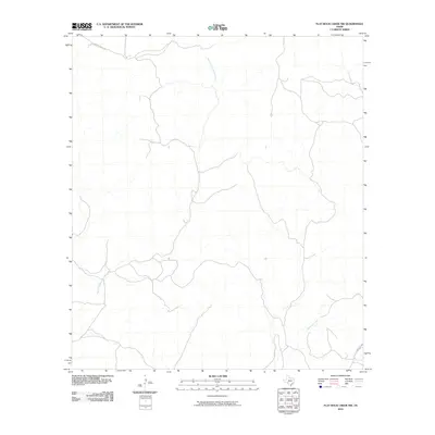
1944 Flat Rock
Edwards County, TX
1944 Indian Creek
Edwards County, TX
1944 Indian Mountain
Edwards County, TX
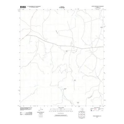
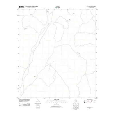
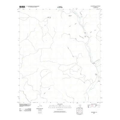
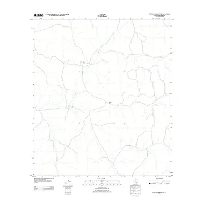
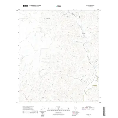
1947 Hackberry
Edwards County, TX
1967 Indian Mountain
Edwards County, TX
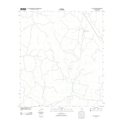
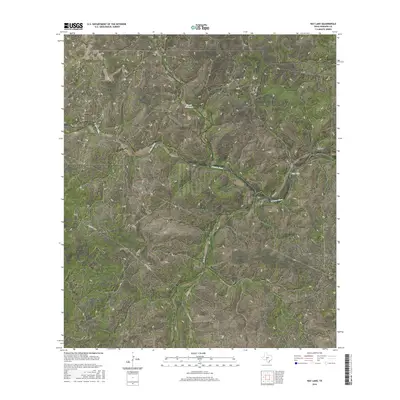
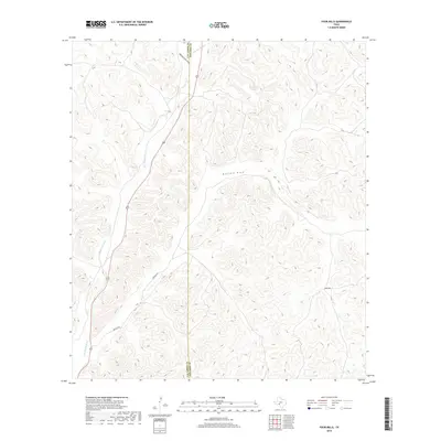
1970 Ray Lake NW
Edwards County, TX
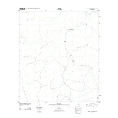
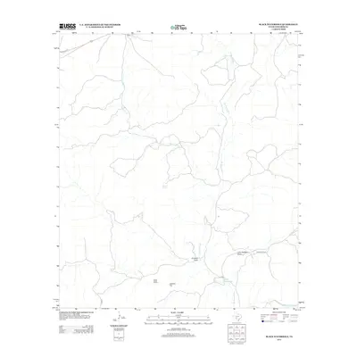
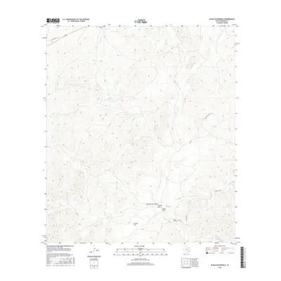
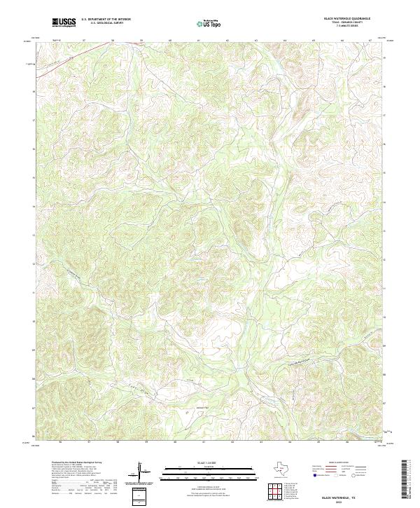
1971 Black Waterhole
Edwards County, TX
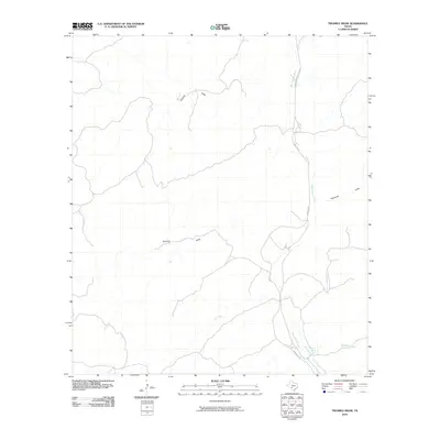
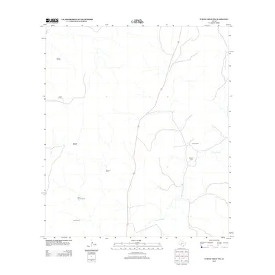
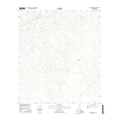
1971 Bradford Creek
Edwards County, TX
1971 Carta Valley NE
Edwards County, TX
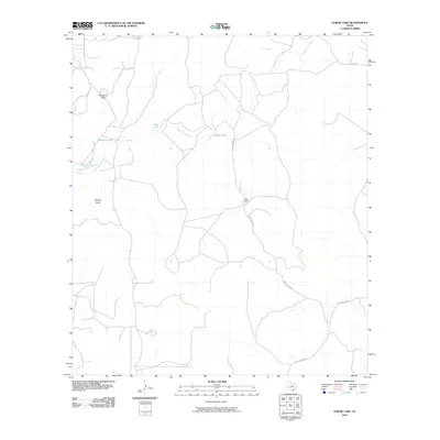
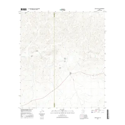
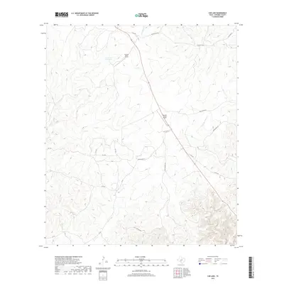
1971 Cub Lake
Edwards County, TX
1971 Devils Sinkhole
Edwards County, TX
1971 Elbow Lake
Edwards County, TX
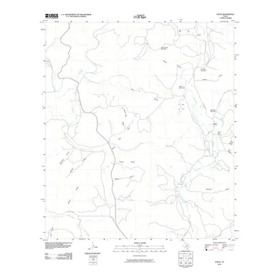
1971 Hackberry
Edwards County, TX
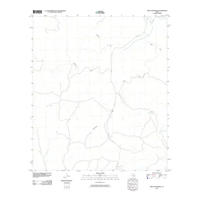
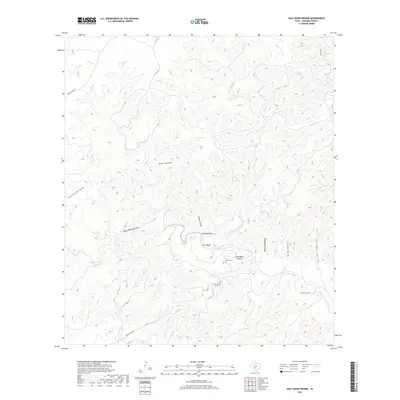
1971 Horse Camp Waterhole
Edwards County, TX
1971 Indian Creek NE
Edwards County, TX
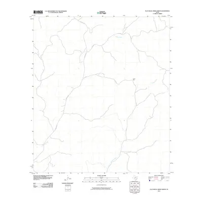
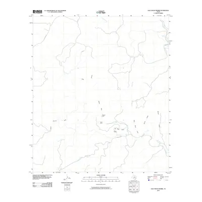
1971 Paint Rock Spring
Edwards County, TX
1971 Ray Lake
Edwards County, TX
1971 Ray Lake SE
Edwards County, TX
1971 Ray Lake SW
Edwards County, TX
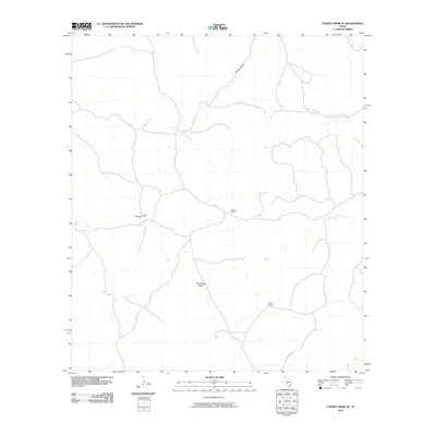
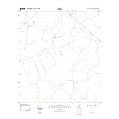
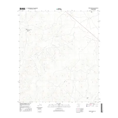
1971 Turney Draw NE
Edwards County, TX
1971 Turney Draw SE
Edwards County, TX
1973 Four Mills
Edwards County, TX
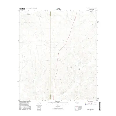
1973 Turney Draw NW
Edwards County, TX
1973 Vance
Edwards County, TX
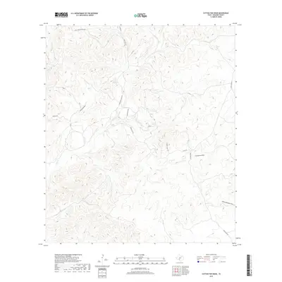
1974 Cutting Pen Draw
Edwards County, TX
1974 Half Moon Prairie
Edwards County, TX
1974 Indian Mountain
Edwards County, TX
1974 Kelley Peak
Edwards County, TX
1974 Twomile Draw
Edwards County, TX
1974 Wiley Waterhole
Edwards County, TX
1978 Carta Valley
Edwards County, TX
1978 Carta Valley SE
Edwards County, TX
1978 Flat Rock Creek North
Edwards County, TX
1978 Flat Rock Creek NW
Edwards County, TX
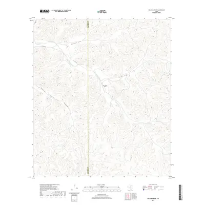
1978 Holcomb Draw
Edwards County, TX
2010 Black Waterhole
Edwards County, TX
2010 Bradford Creek
Edwards County, TX
2010 Carta Valley
Edwards County, TX
2010 Carta Valley NE
Edwards County, TX
2010 Carta Valley SE
Edwards County, TX
2010 Cub Lake
Edwards County, TX
2010 Cutting Pen Draw
Edwards County, TX
2010 Devils Sinkhole
Edwards County, TX
2010 Elbow Lake
Edwards County, TX
2010 Flat Rock Creek North
Edwards County, TX
2010 Flat Rock Creek NW
Edwards County, TX
2010 Four Mills
Edwards County, TX
2010 Hackberry
Edwards County, TX
2010 Half Moon Prairie
Edwards County, TX
2010 Holcomb Draw
Edwards County, TX
2010 Horse Camp Waterhole
Edwards County, TX
2010 Indian Creek NE
Edwards County, TX
2010 Indian Mountain
Edwards County, TX
2010 Kelley Peak
Edwards County, TX
2010 Paint Rock Spring
Edwards County, TX
2010 Ray Lake
Edwards County, TX
2010 Ray Lake NW
Edwards County, TX
2010 Ray Lake SE
Edwards County, TX
2010 Ray Lake SW
Edwards County, TX
2010 Turney Draw NE
Edwards County, TX
2010 Turney Draw NW
Edwards County, TX
2010 Turney Draw SE
Edwards County, TX
2010 Twomile Draw
Edwards County, TX
2010 Vance
Edwards County, TX
2010 Wiley Waterhole
Edwards County, TX
2012 Bradford Creek
Edwards County, TX
2012 Carta Valley
Edwards County, TX
2012 Carta Valley NE
Edwards County, TX
2012 Carta Valley SE
Edwards County, TX
2012 Cub Lake
Edwards County, TX
2012 Cutting Pen Draw
Edwards County, TX
2012 Devils Sinkhole
Edwards County, TX
2012 Elbow Lake
Edwards County, TX
2012 Flat Rock Creek North
Edwards County, TX
2012 Flat Rock Creek NW
Edwards County, TX
2012 Four Mills
Edwards County, TX
2012 Hackberry
Edwards County, TX
2012 Half Moon Prairie
Edwards County, TX
2012 Holcomb Draw
Edwards County, TX
2012 Horse Camp Waterhole
Edwards County, TX
2012 Indian Creek NE
Edwards County, TX
2012 Kelley Peak
Edwards County, TX
2012 Paint Rock Spring
Edwards County, TX

2012 Ray Lake
Edwards County, TX
2012 Ray Lake NW
Edwards County, TX
2012 Ray Lake SE
Edwards County, TX
2012 Ray Lake SW
Edwards County, TX
2012 Turney Draw NE
Edwards County, TX
2012 Turney Draw NW
Edwards County, TX
2012 Turney Draw SE
Edwards County, TX
2012 Twomile Draw
Edwards County, TX
2012 Vance
Edwards County, TX
2012 Wiley Waterhole
Edwards County, TX
2013 Black Waterhole
Edwards County, TX
2013 Indian Mountain
Edwards County, TX
2016 Black Waterhole
Edwards County, TX
2016 Bradford Creek
Edwards County, TX
2016 Carta Valley
Edwards County, TX
2016 Carta Valley NE
Edwards County, TX
2016 Carta Valley SE
Edwards County, TX
2016 Cub Lake
Edwards County, TX
2016 Cutting Pen Draw
Edwards County, TX
2016 Devils Sinkhole
Edwards County, TX
2016 Elbow Lake
Edwards County, TX
2016 Flat Rock Creek North
Edwards County, TX
2016 Flat Rock Creek NW
Edwards County, TX
2016 Four Mills
Edwards County, TX
2016 Hackberry
Edwards County, TX
2016 Half Moon Prairie
Edwards County, TX
2016 Holcomb Draw
Edwards County, TX
2016 Horse Camp Waterhole
Edwards County, TX
2016 Indian Creek NE
Edwards County, TX
2016 Indian Mountain
Edwards County, TX
2016 Kelley Peak
Edwards County, TX
2016 Paint Rock Spring
Edwards County, TX
2016 Ray Lake
Edwards County, TX
2016 Ray Lake NW
Edwards County, TX

2016 Ray Lake SE
Edwards County, TX
2016 Ray Lake SW
Edwards County, TX
2016 Turney Draw NE
Edwards County, TX
2016 Turney Draw NW
Edwards County, TX
2016 Turney Draw SE
Edwards County, TX
2016 Twomile Draw
Edwards County, TX
2016 Vance
Edwards County, TX

2016 Wiley Waterhole
Edwards County, TX
2019 Black Waterhole
Edwards County, TX
2019 Bradford Creek
Edwards County, TX
2019 Carta Valley
Edwards County, TX
2019 Carta Valley NE
Edwards County, TX
2019 Carta Valley SE
Edwards County, TX
2019 Cub Lake
Edwards County, TX
2019 Cutting Pen Draw
Edwards County, TX
2019 Devils Sinkhole
Edwards County, TX
2019 Elbow Lake
Edwards County, TX
2019 Flat Rock Creek North
Edwards County, TX
2019 Flat Rock Creek NW
Edwards County, TX
2019 Four Mills
Edwards County, TX
2019 Hackberry
Edwards County, TX
2019 Half Moon Prairie
Edwards County, TX
2019 Holcomb Draw
Edwards County, TX
2019 Horse Camp Waterhole
Edwards County, TX
2019 Indian Creek NE
Edwards County, TX
2019 Indian Mountain
Edwards County, TX
2019 Kelley Peak
Edwards County, TX
2019 Paint Rock Spring
Edwards County, TX
2019 Ray Lake
Edwards County, TX
2019 Ray Lake NW
Edwards County, TX
2019 Ray Lake SE
Edwards County, TX
2019 Ray Lake SW
Edwards County, TX
2019 Turney Draw NE
Edwards County, TX
2019 Turney Draw NW
Edwards County, TX
2019 Turney Draw SE
Edwards County, TX
2019 Twomile Draw
Edwards County, TX
2019 Vance
Edwards County, TX
2019 Wiley Waterhole
Edwards County, TX
2022 Black Waterhole
Edwards County, TX
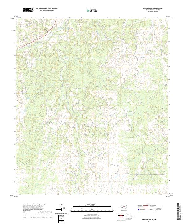
2022 Bradford Creek
Edwards County, TX
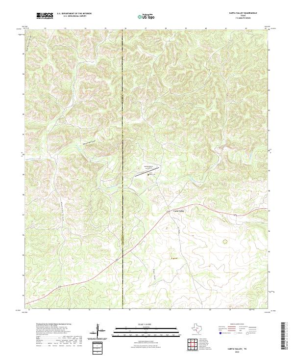
2022 Carta Valley
Edwards County, TX
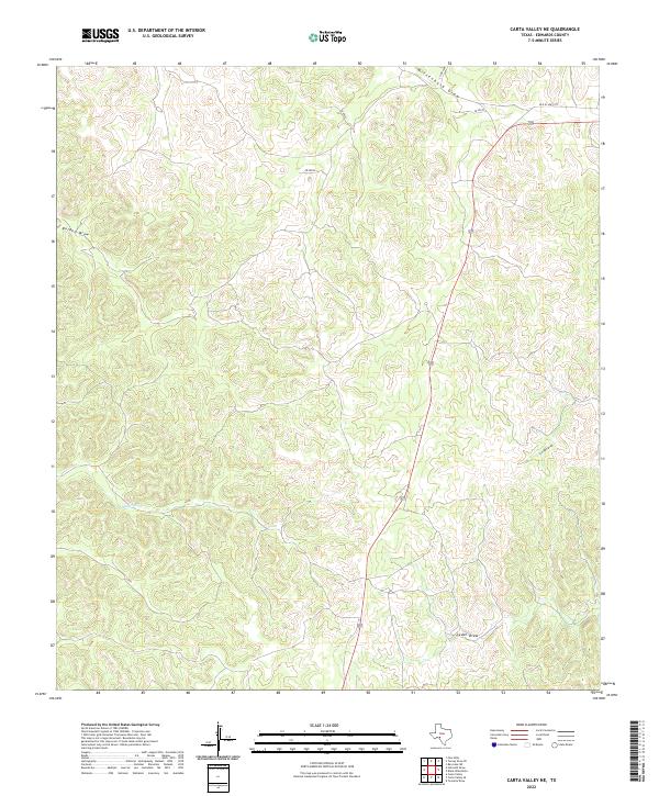
2022 Carta Valley NE
Edwards County, TX
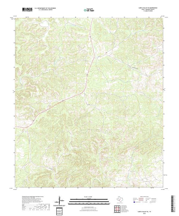
2022 Carta Valley SE
Edwards County, TX
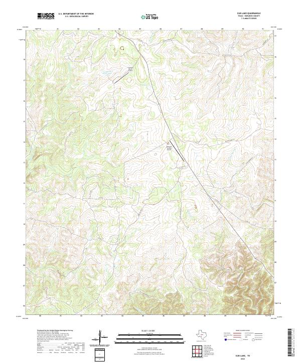
2022 Cub Lake
Edwards County, TX
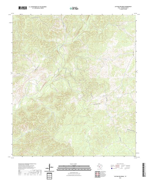
2022 Cutting Pen Draw
Edwards County, TX
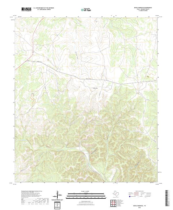
2022 Devils Sinkhole
Edwards County, TX
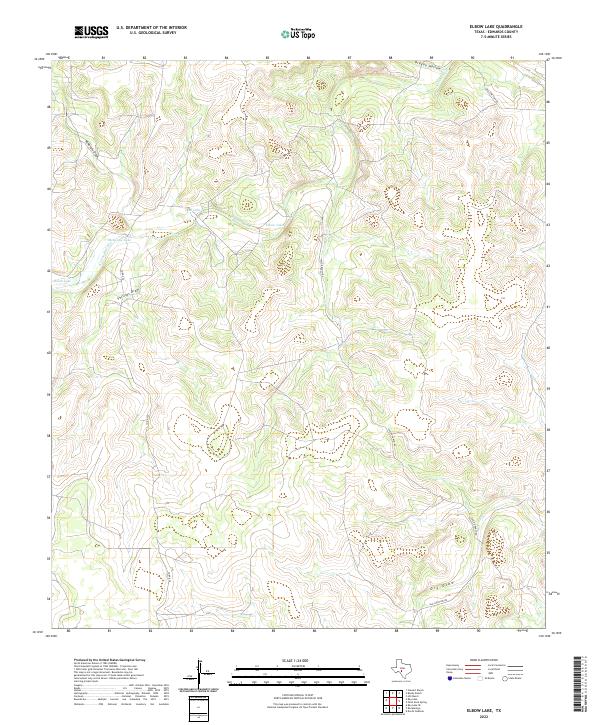
2022 Elbow Lake
Edwards County, TX
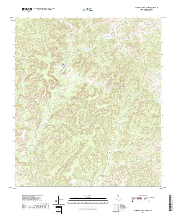
2022 Flat Rock Creek North
Edwards County, TX
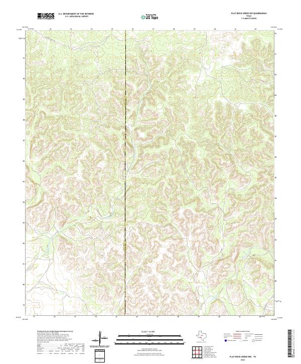
2022 Flat Rock Creek NW
Edwards County, TX
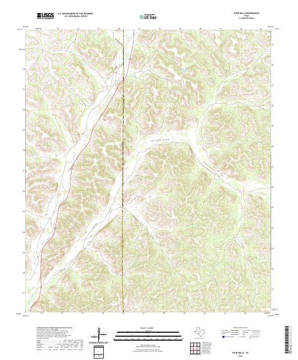
2022 Four Mills
Edwards County, TX
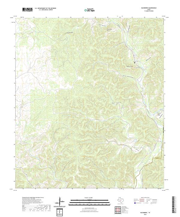
2022 Hackberry
Edwards County, TX
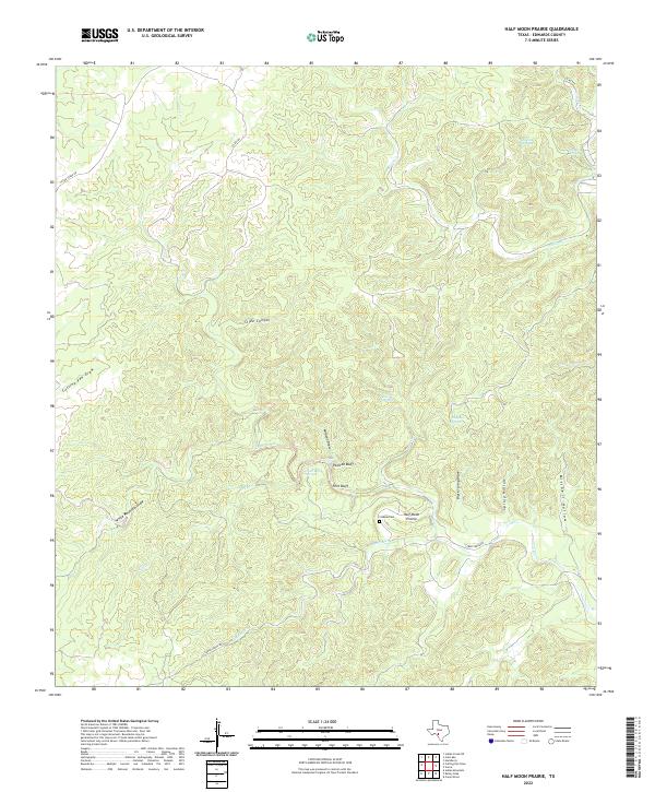
2022 Half Moon Prairie
Edwards County, TX
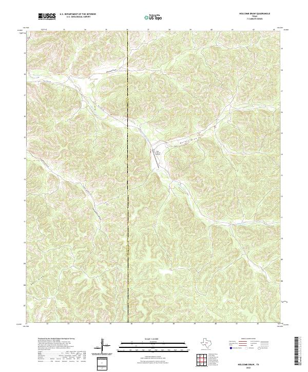
2022 Holcomb Draw
Edwards County, TX
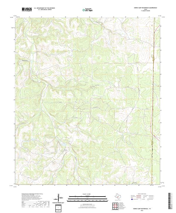
2022 Horse Camp Waterhole
Edwards County, TX
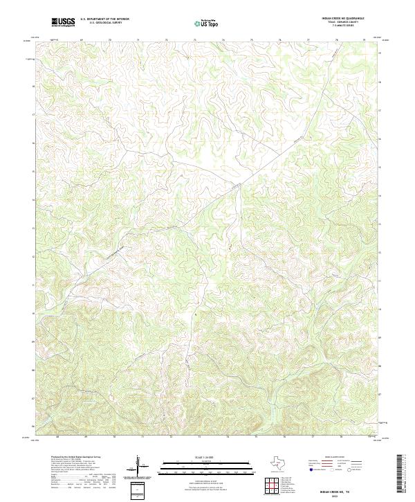
2022 Indian Creek NE
Edwards County, TX
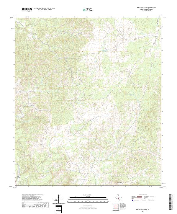
2022 Indian Mountain
Edwards County, TX
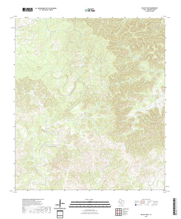
2022 Kelley Peak
Edwards County, TX
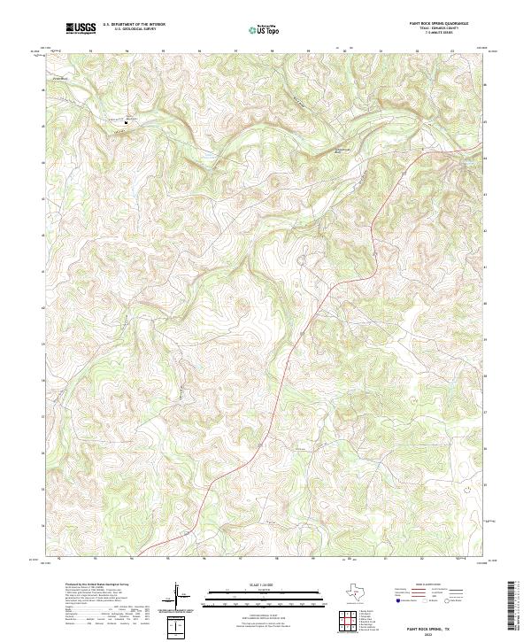
2022 Paint Rock Spring
Edwards County, TX
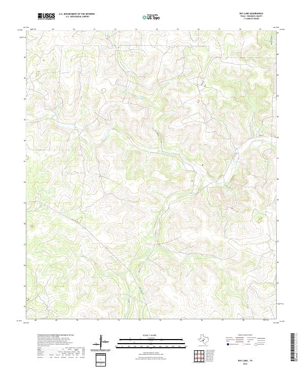
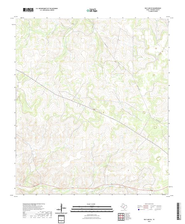
2022 Ray Lake
Edwards County, TX

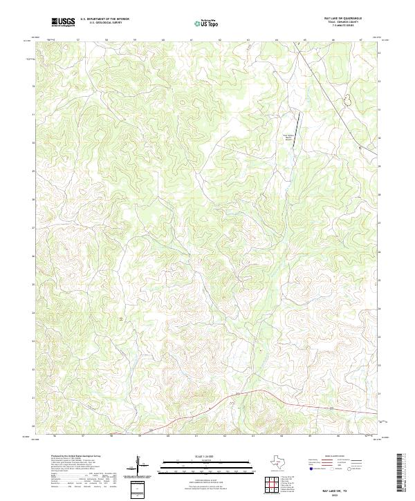
2022 Ray Lake NW
Edwards County, TX
2022 Ray Lake SE
Edwards County, TX
2022 Ray Lake SW
Edwards County, TX
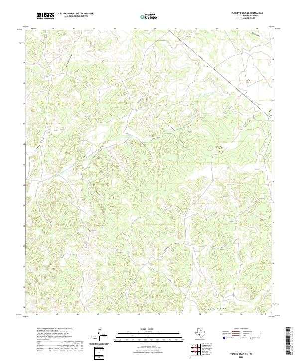
2022 Turney Draw NE
Edwards County, TX
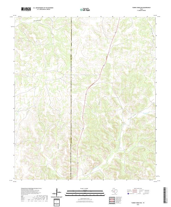
2022 Turney Draw NW
Edwards County, TX
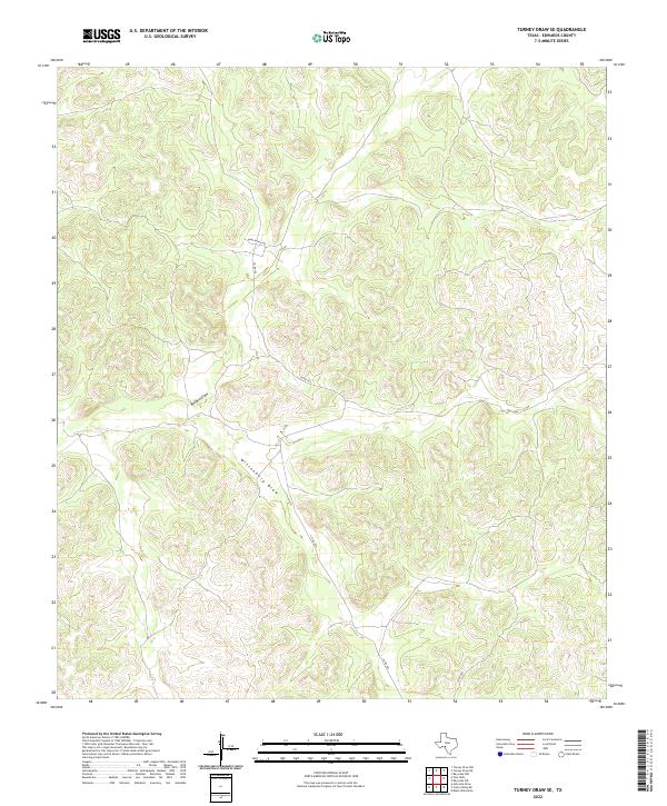
2022 Turney Draw SE
Edwards County, TX
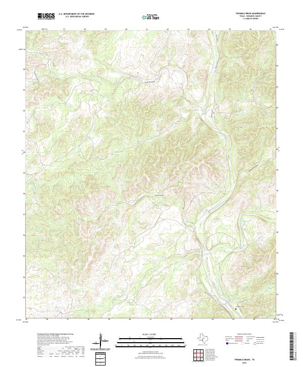
2022 Twomile Draw
Edwards County, TX
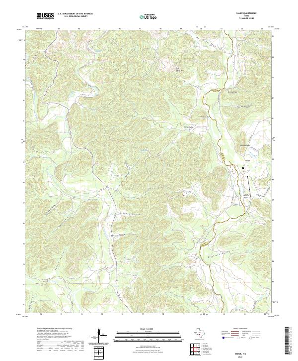
2022 Vance
Edwards County, TX
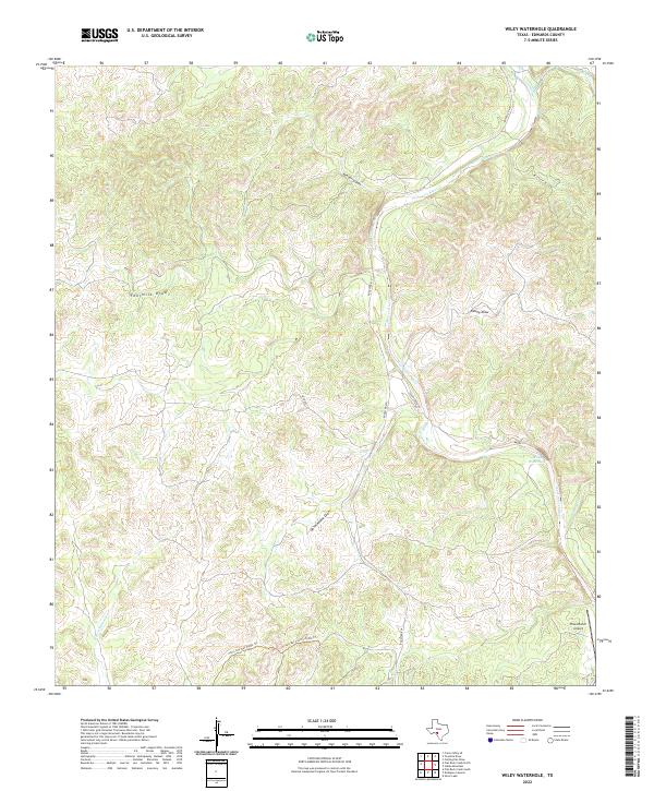
2022 Wiley Waterhole
Edwards County, TX