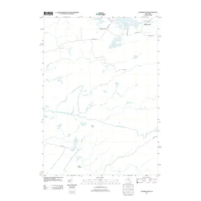
2013 Map of Number Four
USGS Topo · Published 2013About this map
Number Four serves as the focal point of this wooded landscape within the Adirondack Park Preserve, where the early 21st-century road network remains centered on the historical Number Four Rd corridor. The terrain is defined by a dense network of glacial lakes and wetlands, including Francis Lake, Stony Lake, and Woodwardia Pond. The Independence River and Beaver Meadow Brook wind through the region, descending toward significant natural features like Moshier Falls on the northeastern edge. High points such as Mount Tom and Buck Mountain overlook a landscape largely devoid of dense settlement, reflecting the area's role as a protected wilderness and recreation zone. Local routes like Stillwater Rd and Balsam Flats Rd provide the only access into these remote reaches of the Adirondacks.
Find a feature on this map
34 named features on this map. Tap any name to fly to it.
Don’t see what you’re looking for? This feature index may not catch every label — zoom into the map to look around manually.
Map Details
Editions of this 2013 Number Four Map
This is the sole edition of this map. No revisions or reprints were ever made.
Other maps of this area

1905 · Port Leyden
USGS Topo · 1:62,500

1907 · Port Leyden
USGS Topo · 1:62,500

1911 · Lowville
USGS Topo · 1:62,500

1912 · Number Four
USGS Topo · 1:62,500

1912 · Mc Keever
USGS Topo · 1:62,500

1913 · Lowville
USGS Topo · 1:62,500

1915 · Number Four
USGS Topo · 1:62,500

1940 · Port Leyden
USGS Topo · 1:62,500

1950 · Utica
USGS Topo · 1:250,000

1957 · Utica
USGS Topo · 1:250,000