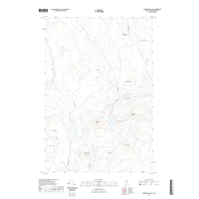
2021 Map of Number Nine Lake
USGS Topo · Published 2021About this map
Number Nine Lake and the surrounding high ground of southern Aroostook County dominate this interior Maine landscape. The area is defined by a dense network of peaks including Saddleback Mtn, Number Nine Mtn, and Meduxnekeag Mtn, forming a prominent divide between several drainage basins. A sophisticated system of logging roads and forest tracks, such as Achille Morneau Rd and Fraser Tower Rd, provides the primary access through the timberlands.
Find a feature on this map
32 named features on this map. Tap any name to fly to it.
Don’t see what you’re looking for? This feature index may not catch every label — zoom into the map to look around manually.
Map Details
Editions of this 2021 Number Nine Lake Map
This is the sole edition of this map. No revisions or reprints were ever made.
Other maps of this area

1934 · Bridgewater
USGS Topo · 1:48,000

1935 · Howe Brook
USGS Topo · 1:48,000

1935 · Presque Isle
USGS Topo · 1:62,500

1936 · Mars Hill
USGS Topo · 1:48,000

1938 · Bridgewater
USGS Topo · 1:62,500

1939 · Howe Brook
USGS Topo · 1:62,500

1940 · Mars Hill
USGS Topo · 1:62,500

1951 · Mars Hill
USGS Topo · 1:62,500

1951 · Bridgewater
USGS Topo · 1:62,500

1953 · Bridgewater
USGS Topo · 1:50,000