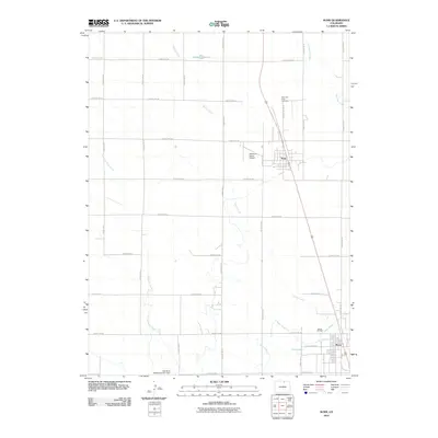
2010 Map of Nunn
USGS Topo · Published 2010About this map
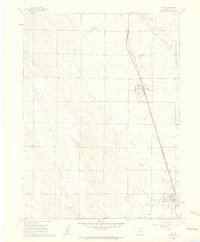
Nunn and Pierce anchor this high plains landscape of northern Weld County, where the transition from agriculture to energy production is clearly visible. The grid-like layout of the county road system, including County Rd-104 and County Rd-88, organizes a terrain shaped by water management and natural drainages. To the south, the Pierce Oil Field indicates the region's industrial footprint, while the Pierce Lateral canal system and Coal Bank Watershed CB-1 Dam reveal the sophisticated water engineering required for local survival.
Find a feature on this map
30 named features on this map. Tap any name to fly to it.
Don’t see what you’re looking for? This feature index may not catch every label — zoom into the map to look around manually.
Map Details
Editions of this 2010 Nunn Map
This is the sole edition of this map. No revisions or reprints were ever made.
Other maps of this area

1908 · Eaton
USGS Topo · 1:125,000

1910 · Eaton
USGS Topo · 1:125,000

1954 · Greeley
USGS Topo · 1:250,000

1957 · Greeley
USGS Topo · 1:250,000

1958 · Greeley
USGS Topo · 1:250,000
1960 · Cobb Lake
USGS Topo · 1:24,000
1960 · Severance
USGS Topo · 1:24,000
1960 · Eaton
USGS Topo · 1:24,000
1960 · Nunn
USGS Topo · 1:24,000
1960 · Timnath
USGS Topo · 1:24,000