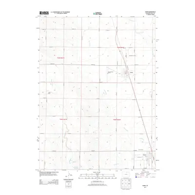
2013 Map of Nunn
USGS Topo · Published 2013About this map
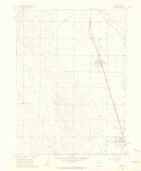
Nunn and Pierce anchor this high-plains landscape along the US-85 corridor in Weld County, where the agricultural grid meets industrial resource extraction. The southern portion of the sheet is dominated by the Pierce Oil Field, illustrating the economic duality of the region. Water management is central to the area's development, evidenced by the Pierce Lateral canal and the Coal Bank Watershed CB 1 Reservoir, which support life in a drainage system defined by Lone Tree Creek and Coalbank Creek. Local history is reflected in landmarks like the Mountain View Cem north of Nunn and several private landing strips, including the Shaull Farm Airstrip and Bellmore Farms Airport, which suggest a landscape where vast distances made aerial access a practical necessity for remote farmsteads.
Find a feature on this map
46 named features on this map. Tap any name to fly to it.
Don’t see what you’re looking for? This feature index may not catch every label — zoom into the map to look around manually.
Map Details
Editions of this 2013 Nunn Map
This is the sole edition of this map. No revisions or reprints were ever made.
Other maps of this area

1908 · Eaton
USGS Topo · 1:125,000

1910 · Eaton
USGS Topo · 1:125,000

1954 · Greeley
USGS Topo · 1:250,000

1957 · Greeley
USGS Topo · 1:250,000

1958 · Greeley
USGS Topo · 1:250,000
1960 · Cobb Lake
USGS Topo · 1:24,000
1960 · Severance
USGS Topo · 1:24,000
1960 · Eaton
USGS Topo · 1:24,000
1960 · Nunn
USGS Topo · 1:24,000
1960 · Timnath
USGS Topo · 1:24,000