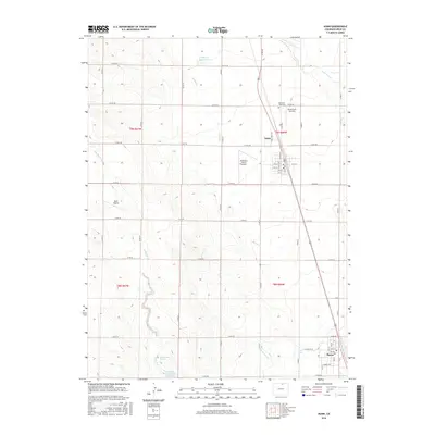
2016 Map of Nunn
USGS Topo · Published 2016About this map
Agricultural development and water management define this portion of Weld County, centered on the high plains settlements of Nunn and Pierce. The landscape is a patchwork of section roads and water infrastructure, essential for ranching and farming in this arid environment. Key water features include the Eichheim Reservoir and the Pierce Lateral canal, which support the region's productivity. Along the seasonal drainages of Spring Cr and Lone Tree Cr, the terrain reveals the natural hydrology of the area, including Rattlesnake Springs and the Coal Bank Watershed CB-1 Reservoir. Private aviation is notably prevalent in this rural landscape, as evidenced by several local landing strips such as Shaull Farm Airstrip, Bellmore Farms Airport, and Reed Airport. Genealogists and local historians can locate the Mountain View Cem north of Nunn, while the detailed street grids of the two towns highlight the community centers of this agricultural heartland.
Find a feature on this map
51 named features on this map. Tap any name to fly to it.
Don’t see what you’re looking for? This feature index may not catch every label — zoom into the map to look around manually.
Map Details
Editions of this 2016 Nunn Map
This is the sole edition of this map. No revisions or reprints were ever made.
Other maps of this area

1908 · Eaton
USGS Topo · 1:125,000

1910 · Eaton
USGS Topo · 1:125,000

1954 · Greeley
USGS Topo · 1:250,000

1957 · Greeley
USGS Topo · 1:250,000

1958 · Greeley
USGS Topo · 1:250,000
1960 · Cobb Lake
USGS Topo · 1:24,000
1960 · Severance
USGS Topo · 1:24,000
1960 · Eaton
USGS Topo · 1:24,000
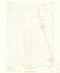
1960 · Nunn
USGS Topo · 1:24,000
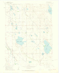
1960 · Timnath
USGS Topo · 1:24,000