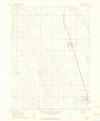
1960 Map of Nunn
USGS Topo · Published 1962About this map
The Union Pacific railroad corridor anchors this 1960s view of Weld County, Colorado, where the agricultural and industrial footprints of Nunn and Pierce are clearly defined. The landscape is marked by the vital infrastructure of high-plains farming, including the Grain Elevator at Nunn and the Pierce Lateral irrigation feature. Topography is shaped by the drainages of Lone Tree Creek, Spring Creek, and Coalbank Creek, while smaller water sources like Rattlesnake Springs and Crom Lake dot the plains.
Find a feature on this map
20 named features on this map. Tap any name to fly to it.
Don’t see what you’re looking for? This feature index may not catch every label — zoom into the map to look around manually.
Map Details
Editions of this 1960 Nunn Map
This is the sole edition of this map. No revisions or reprints were ever made.
Other maps of this area

1908 · Eaton
USGS Topo · 1:125,000

1910 · Eaton
USGS Topo · 1:125,000

1954 · Greeley
USGS Topo · 1:250,000

1957 · Greeley
USGS Topo · 1:250,000

1958 · Greeley
USGS Topo · 1:250,000
1960 · Cobb Lake
USGS Topo · 1:24,000
1960 · Severance
USGS Topo · 1:24,000
1960 · Eaton
USGS Topo · 1:24,000
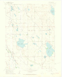
1960 · Timnath
USGS Topo · 1:24,000
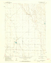
1960 · Antelope Reservoir
USGS Topo · 1:24,000