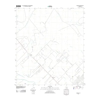
2010 Map of Nursery
USGS Topo · Published 2010About this map
Nursery serves as a central hub for this corner of Victoria County, where the landscape is defined by the winding course of Spring Creek and the southern flow of the Guadalupe River. The area maintains a rural settlement pattern, with the small community of Moursund located further south along Nursery Rd. For genealogists and local historians, several burial grounds are scattered throughout the territory, including the Nursery Cemetery, Oliver Cemetery, and De Leon Cemetery, each marking the generational roots of the local families.
Find a feature on this map
35 named features on this map. Tap any name to fly to it.
Don’t see what you’re looking for? This feature index may not catch every label — zoom into the map to look around manually.
Map Details
Editions of this 2010 Nursery Map
This is the sole edition of this map. No revisions or reprints were ever made.
Other maps of this area

1951 · Inez NW
USGS Topo · 1:24,000

1952 · Victoria East
USGS Topo · 1:24,000

1953 · Beeville
USGS Topo · 1:250,000

1953 · Seguin
USGS Topo · 1:250,000

1956 · Beeville
USGS Topo · 1:250,000

1958 · Seguin
USGS Topo · 1:250,000

1960 · Beeville
USGS Topo · 1:250,000

1962 · Verhelle
USGS Topo · 1:24,000

1963 · Fordtran
USGS Topo · 1:24,000

1963 · Nursery
USGS Topo · 1:24,000