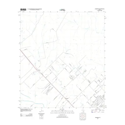
2013 Map of Nursery
USGS Topo · Published 2013About this map
Spring Creek meanders through the central landscape of Victoria County, defining the drainage patterns between the small settlements of Nursery and Moursund. This 2013 survey illustrates the residential expansion radiating from these locales, with an intricate network of rural roads such as Nursery Rd and Kingwood Forrest Dr carving through the coastal plains. For genealogists, the map is a vital resource for locating family burial sites, including Nursery Cemetery, Oliver Cemetery, and the De Leon Cemetery near the southern boundary. The southern edge is anchored by the Guadalupe River, while the eastern portion is marked by the presence of Ball Airport. The transition from larger agricultural plots to subdivided residential tracts like those along Crawford Dr and Hickory Dr shows the evolving land use in this part of Texas at the start of the decade.
Find a feature on this map
77 named features on this map. Tap any name to fly to it.
Don’t see what you’re looking for? This feature index may not catch every label — zoom into the map to look around manually.
Map Details
Editions of this 2013 Nursery Map
This is the sole edition of this map. No revisions or reprints were ever made.
Other maps of this area

1951 · Inez NW
USGS Topo · 1:24,000

1952 · Victoria East
USGS Topo · 1:24,000

1953 · Beeville
USGS Topo · 1:250,000

1953 · Seguin
USGS Topo · 1:250,000

1956 · Beeville
USGS Topo · 1:250,000

1958 · Seguin
USGS Topo · 1:250,000

1960 · Beeville
USGS Topo · 1:250,000

1962 · Verhelle
USGS Topo · 1:24,000

1963 · Fordtran
USGS Topo · 1:24,000

1963 · Nursery
USGS Topo · 1:24,000