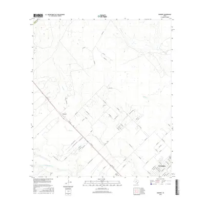
2016 Map of Nursery
USGS Topo · Published 2016About this map
Nursery serves as a central point of this landscape near the Dewitt Co Victoria Co boundary. The area is defined by the winding course of the Guadalupe River in the south and the many tributaries that feed it, including Spring Cr and Willow Cr. Genealogy value is high across this territory, as several burial grounds are scattered throughout the countryside, such as Nursery Cem, the secluded Oliver Cem, and De Leon Cem. The road network reflects a shift toward suburban and ranch development, with a concentration of residential streets like Eleanor St and Wayne St appearing near the expanding outskirts of Victoria. These namesake lanes and ranch roads such as Mc Neil Ranch Rd trace family landholdings and late-twentieth-century residential growth across the coastal plains.
Find a feature on this map
74 named features on this map. Tap any name to fly to it.
Don’t see what you’re looking for? This feature index may not catch every label — zoom into the map to look around manually.
Map Details
Editions of this 2016 Nursery Map
This is the sole edition of this map. No revisions or reprints were ever made.
Other maps of this area

1951 · Inez NW
USGS Topo · 1:24,000

1952 · Victoria East
USGS Topo · 1:24,000

1953 · Beeville
USGS Topo · 1:250,000

1953 · Seguin
USGS Topo · 1:250,000

1956 · Beeville
USGS Topo · 1:250,000

1958 · Seguin
USGS Topo · 1:250,000

1960 · Beeville
USGS Topo · 1:250,000

1962 · Verhelle
USGS Topo · 1:24,000

1963 · Fordtran
USGS Topo · 1:24,000

1963 · Nursery
USGS Topo · 1:24,000