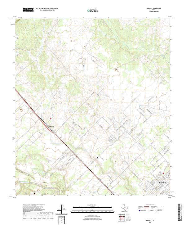
2022 Map of Nursery
USGS Topo · Published 2022About this map
Nursery serves as a central hub in this part of Victoria County, where the landscape transitions from the winding course of the Guadalupe River toward the open prairie lands to the northeast. Several historic burial sites, including Nursery Cem, Oliver Cem, and the small De Leon Cem, are scattered across the terrain, reflecting generations of local settlement. The area's hydrology is defined by the convergence of Spring Cr and Willow Cr as they flow south toward the coastal plains. Moving southeast, the map captures the residential expansion of Victoria, where structured street grids like Eileen St and Cynthia St meet rural ranch roads. The presence of Memory Gardens Cem on the outskirts of the city suggests the continued growth of this regional center while maintaining the agricultural heritage found along Nursery Rd.
Find a feature on this map
94 named features on this map. Tap any name to fly to it.
Don’t see what you’re looking for? This feature index may not catch every label — zoom into the map to look around manually.
Map Details
Editions of this 2022 Nursery Map
This is the sole edition of this map. No revisions or reprints were ever made.
Other maps of this area

1951 · Inez NW
USGS Topo · 1:24,000

1952 · Victoria East
USGS Topo · 1:24,000

1953 · Beeville
USGS Topo · 1:250,000

1953 · Seguin
USGS Topo · 1:250,000

1956 · Beeville
USGS Topo · 1:250,000

1958 · Seguin
USGS Topo · 1:250,000

1960 · Beeville
USGS Topo · 1:250,000

1962 · Verhelle
USGS Topo · 1:24,000

1963 · Fordtran
USGS Topo · 1:24,000

1963 · Nursery
USGS Topo · 1:24,000